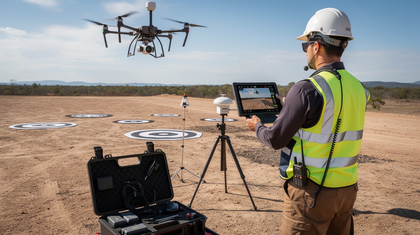
Traditional surveying methods waste weeks and drain budgets. Ground crews struggle to access difficult terrain, and weather constantly derails timelines.
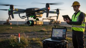
We at IE Drone Services use drone services mapping to capture precise data in hours instead of weeks. High-resolution imagery and thermal imaging give you the accuracy you need to make confident decisions fast.
Why Traditional Surveying Fails Modern Projects
The Time and Cost Trap
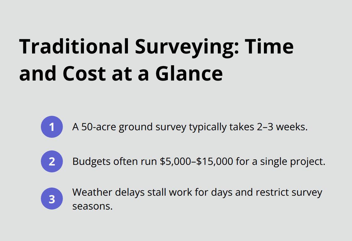
Traditional land surveying consumes weeks and drains budgets. A standard ground survey of a 50-acre site takes two to three weeks, with crews navigating terrain on foot, setting up equipment, and processing data manually. Costs easily exceed $5,000 to $15,000 for that same project. Weather becomes your enemy-rain stops work for days, and seasonal conditions limit when surveys can happen at all.
Ground crews also face genuine safety risks in traditional ground surveying on steep terrain where terrain can be uneven and difficult to traverse, and the additional weight can lead to injury for those unaccustomed to the load.
Incomplete Data From Ground Level
Ground-based methods fail to capture the complete picture. A surveyor standing at ground level cannot see what lies beyond ridgelines, inside dense vegetation, or across expansive areas without spending weeks walking every inch. Hard-to-reach zones get skipped or estimated, introducing errors that compound through design and construction phases. Thermal data to assess building envelope performance or energy losses remains out of reach-thermal imaging demands aerial perspective and specialized equipment that traditional surveyors lack.
The Hidden Cost of Gaps
Incomplete data forces teams to make decisions with significant gaps. Rework, cost overruns, and safety oversights follow when critical information goes missing. Projects stall while crews attempt to fill holes in their datasets, and stakeholders lose confidence in timelines and budgets. The longer a project stretches, the more expensive it becomes-and traditional surveying guarantees delays at every stage.
Drone mapping technology eliminates these constraints entirely. Accurate aerial data collection with drone mapping captures comprehensive data in hours instead of weeks, providing the accuracy and speed that ground methods cannot match. This shift transforms how teams approach site assessment, inspection, and planning-and it opens the door to faster, safer, and more informed project decisions.
How Drones Capture Accurate Data in Hours
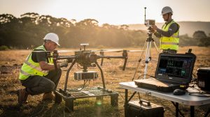
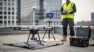
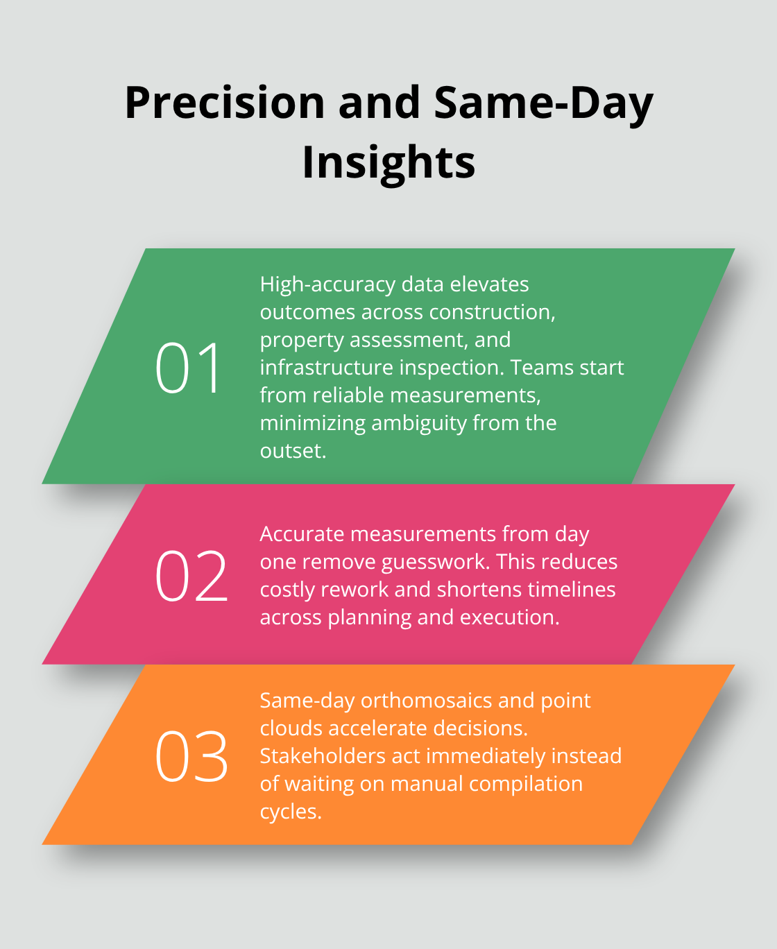
Drone mapping replaces weeks of fieldwork with hours of flight time and immediate results. A 50-acre site that takes traditional surveyors two to three weeks now takes a drone operator four to six hours, including flight planning and data capture. High-resolution cameras mounted on drones record imagery at ground sampling distances as low as 1.5 to 2.5 centimeters per pixel, meaning every detail on the ground translates into measurable data. This precision matters enormously for construction sites, property assessments, and infrastructure inspection. When you have accurate measurements from day one, you eliminate the guesswork that leads to costly rework and project delays. Real-time processing allows your team to review orthomosaic maps and 3D point clouds the same day the flight happens, enabling immediate decisions without waiting for manual data compilation.
Thermal Imaging Reveals What Standard Cameras Miss
Thermal imaging transforms building inspections by detecting temperature variations invisible to the human eye and standard RGB cameras. Roof leaks, insulation failures, and energy inefficiencies show up as distinct heat signatures on thermal maps. A building envelope assessment using thermal drone data identifies exactly where heat escapes, enabling facility managers to prioritize repairs and reduce energy costs. Infrared cameras work alongside high-resolution RGB sensors to capture both structural conditions and thermal performance in a single flight. This dual-camera approach eliminates the need for separate inspection trips and reduces downtime for property owners.
Processing Speed Transforms Decision-Making
Ground-based survey data requires manual compilation, calculation, and quality checks that stretch timelines for weeks. Drone data feeds directly into photogrammetry software, which automatically stitches overlapping images into cohesive maps and models within hours. Construction teams receive volumetric calculations for stockpiles, cut-and-fill analyses for earthworks, and progress tracking imagery without waiting for manual measurement crews to return to the office. This speed advantage compounds on multi-phase projects where decisions made today affect mobilization schedules tomorrow. When thermal data, orthomosaics, and point clouds arrive same-day, project managers move from reactive problem-solving to proactive planning, keeping teams mobilized and costs predictable.
Why Speed Matters for Your Bottom Line
Faster data collection directly reduces project timelines and labor costs. Teams no longer sit idle waiting for survey results-they act on information the same day flights occur. Construction managers track progress weekly instead of monthly, catching issues before they escalate into expensive rework. Property inspectors complete thermal assessments in hours rather than days, accelerating insurance claims and repair decisions. The financial impact compounds across every project phase: mobilization happens faster, crews stay productive, and stakeholders make confident decisions backed by complete, accurate data.
This combination of speed and accuracy sets drone mapping apart from traditional methods and opens possibilities that ground-based surveying simply cannot match. The real question becomes not whether your project needs this data, but how quickly you can act on it once you have it in hand.
Where Drone Mapping Delivers Real Results
Roof and Solar Inspections Eliminate Worker Risk
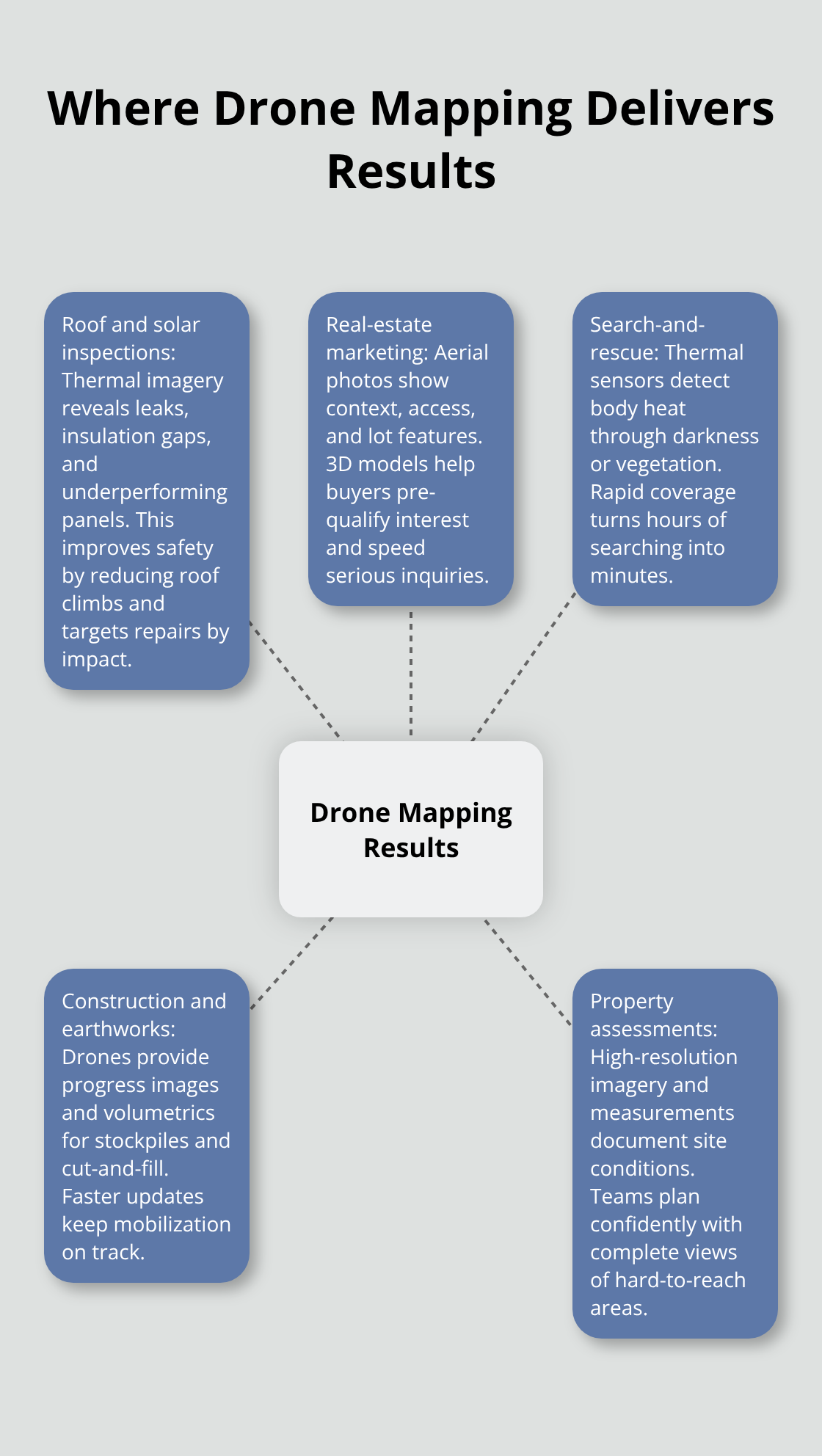
Roof inspections demand that crews physically climb structures, exposing workers to falls and weather hazards while missing subsurface damage invisible from ground level. Thermal imaging from drone flights reveals insulation gaps, water intrusion, and heat loss patterns that standard visual inspections completely miss. Thermal drone roof inspections offer enhanced safety, reduced inspection times, and cost savings compared to manual ground-based approaches. The thermal data pinpoints exactly where energy leaks occur, allowing facility managers to prioritize repairs by financial impact rather than guessing. Solar array inspections work the same way-thermal imaging identifies underperforming panels caused by micro-fractures, soiling, or connection issues before they cascade into system failures. Property owners receive specific coordinates for problem areas instead of vague reports, cutting repair costs by focusing work only where it matters most.
Aerial Photography Transforms Real-Estate Marketing
Real-estate marketing benefits dramatically from aerial perspective that ground-level photography simply cannot provide. A property listing with standard photos competes against hundreds of similar listings; high-resolution drone imagery transforms how buyers perceive a site. Aerial photos show lot size, surrounding context, access points, and landscape features that matter to purchase decisions. 3D models generated from drone data let potential buyers explore properties virtually before scheduling site visits, reducing tire-kickers and accelerating serious inquiries.
Drone photography captures the complete property story in ways that traditional ground-based images cannot match.
Search-and-Rescue Operations Save Lives Through Speed
Search-and-rescue operations represent perhaps the most critical application-drone flights locate missing persons by swiftly covering extensive and difficult-to-navigate landscapes. Thermal imaging from drone sensors detects body heat even in darkness or dense vegetation, enabling rescue teams to focus resources on actual locations instead of conducting blind grid searches. The speed advantage directly saves lives in weather emergencies, wilderness incidents, and urban searches where every minute counts. IE Drone Services provides heat-sensing search capabilities combined with rapid deployment, turning response time from hours into minutes when emergency services need results fastest.
Final Thoughts
Drone services mapping eliminates the delays and budget overruns that plague traditional surveying. Ground crews spend weeks navigating terrain and compiling data manually, while drone flights capture comprehensive, accurate information in hours. This speed advantage translates directly into faster project timelines, reduced labor costs, and decisions backed by complete data rather than incomplete estimates.
Accurate data transforms how teams approach risk and planning. Thermal imaging reveals energy losses before they drain budgets, volumetric calculations for stockpiles arrive same-day instead of weeks later, and roof inspections happen without exposing workers to fall hazards. When your data is precise and immediate, your decisions become safer and more confident.
We at IE Drone Services deliver FAA-certified drone solutions tailored to your specific needs. Our team operates DJI platforms equipped with high-resolution and infrared cameras to provide thermal building and roof inspections, search-and-rescue capabilities, and aerial photography that transforms how you assess properties and respond to emergencies. Contact IE Drone Services today to discuss how drone services mapping can accelerate your next project and deliver the actionable data your team needs to move forward with confidence.