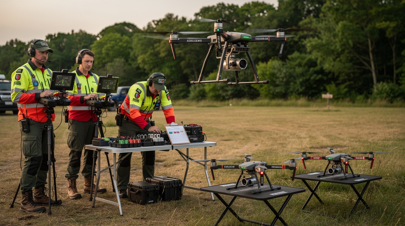
Every second counts in search and rescue operations. When someone goes missing, the ability to cover large areas quickly can mean the difference between a successful recovery and a tragedy.
At IE Drone Services, we’ve seen firsthand how search drone deployment tips transform response times. The right strategies, equipment, and planning allow teams to scan terrain systematically and locate people faster than traditional methods ever could.
Pre-Flight Planning Determines Search Success
The first 15 minutes of a search operation set the tone for everything that follows. Teams that invest time in proper pre-flight planning recover missing persons significantly faster than those who rush to launch. Start by analyzing the specific terrain you’re searching. Dense forests, urban environments, and open water each demand different flight strategies. A wooded area requires lower altitude passes and careful obstacle avoidance, while open fields allow higher altitude sweeps that cover more ground.
Gather Terrain Intelligence Before Deployment
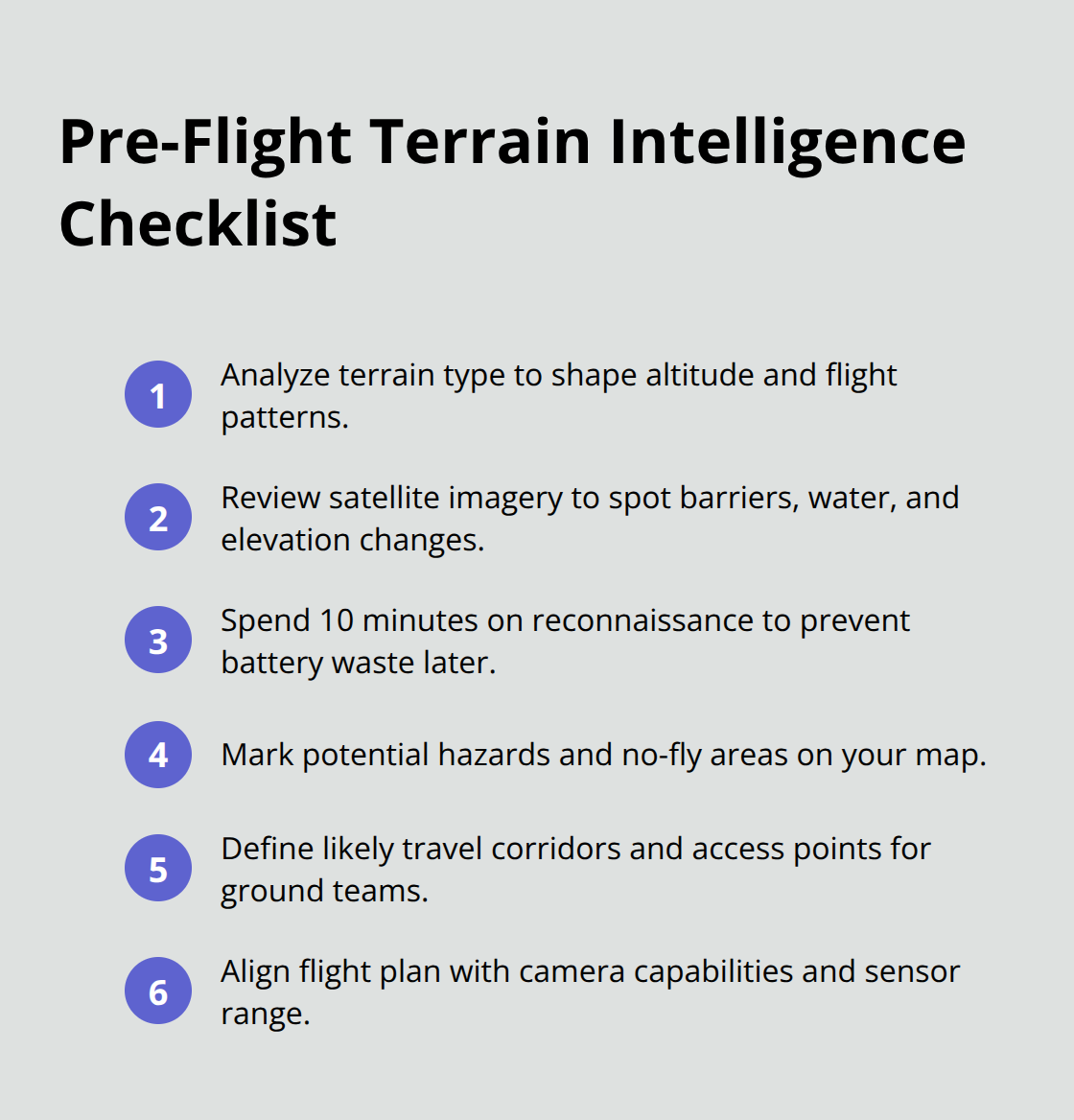
Get a detailed map of the search zone before your team arrives on scene. Use satellite imagery from Google Earth or similar tools to identify natural barriers, water sources, and terrain elevation changes. This reconnaissance work takes 10 minutes but prevents costly mistakes and wasted battery time during actual operations. Understanding the landscape shapes every decision you make once the drone launches.
Select Altitude and Flight Patterns Based on Conditions
Most teams fly too high or use random search patterns, which wastes time and reduces detection rates. Systematic grid patterns increase detection rates compared to random flight paths. Determine your optimal altitude based on camera capabilities and terrain features. For thermal imaging searches, flying between 200 and 400 feet gives you the best balance between heat signature clarity and area coverage.
Weather conditions during your pre-flight window shape your decisions significantly. Wind speeds above 25 miles per hour reduce flight stability and battery efficiency, so adjust your altitude and pattern accordingly. A tighter, lower-altitude grid pattern works better in wind, while calm conditions allow you to expand your coverage area and fly higher.
Coordinate Flight Plans with Ground Teams
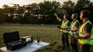
Coordinate your flight pattern with ground teams before launching. Ground personnel need to know which direction the drone moves so they can position themselves strategically and respond immediately if the operator spots anything. This communication prevents confusion and accelerates response times when critical moments arrive. The next phase of your operation-executing advanced flight techniques-builds directly on this foundation of coordination and planning.
Advanced Flight Techniques for Maximum Coverage
Grid Patterns Eliminate Guesswork in Search Operations
Grid patterns dominate professional search operations because they eliminate guesswork and cover terrain methodically. Instead of flying randomly across a landscape, systematic grid searches ensure no areas get missed while minimizing wasted battery time. Grid patterns increase detection probability significantly compared to unstructured flight paths. Set your grid spacing based on your camera’s field of view and the terrain type you’re covering.
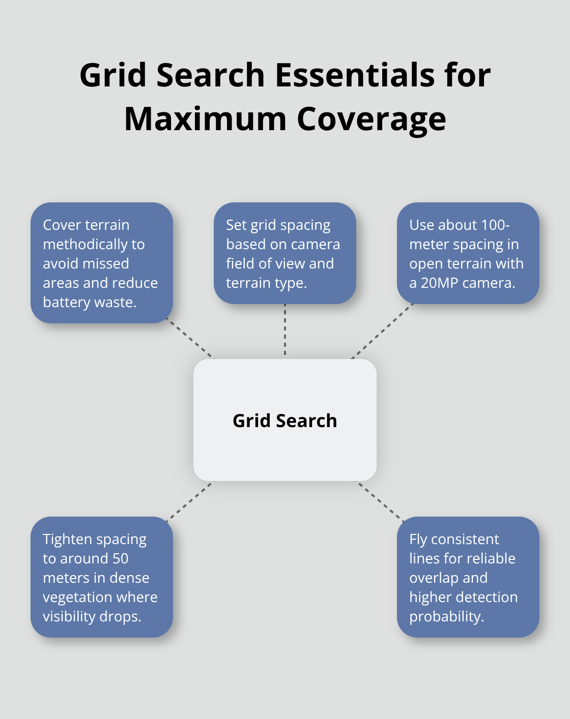
For a standard drone camera with a 20-megapixel sensor, 100-meter grid spacing works well in open terrain, but reduce this to 50 meters in dense vegetation where visibility drops sharply.
Wind Direction Shapes Flight Efficiency
Wind direction matters more than most operators realize. Fly your grid passes perpendicular to wind direction rather than parallel, since crosswinds create more stable flight than headwinds or tailwinds. This simple adjustment extends battery life by 8 to 12 percent, giving you additional coverage time when every minute counts. Higher wind speeds demand tighter patterns and lower altitudes to maintain control and maximize detection capability.
Thermal Imaging Detects Heat Signatures in Darkness and Fog
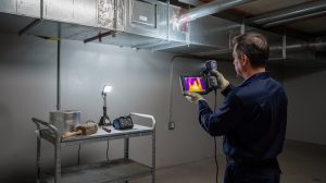
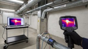
Thermal imaging transforms search effectiveness because it detects human body heat even when visual identification fails. A person’s thermal signature reads around 98.6 degrees Fahrenheit against cooler surroundings, making heat detection reliable in darkness, fog, and dense brush where cameras see nothing. Thermal cameras work best when flying between 200 and 400 feet altitude, though this varies based on your equipment’s sensitivity rating. Higher-end thermal sensors detect heat signatures reliably up to 600 feet, while consumer-grade thermal cameras need closer approaches.
Rapid Deployment Accelerates Response Times
Teams that launch within 5 minutes of receiving coordinates cover significantly more ground during the critical first hour. Pre-staging your drone and keeping batteries charged in the response vehicle eliminates startup delays. Maintaining a dedicated search kit with fully charged batteries, mounting hardware, and your thermal camera ready to deploy instantly separates fast responses from slow ones. Coordination between your drone operator and ground teams determines whether spotted subjects get located quickly-establish a simple radio protocol before launching so the operator can communicate exact coordinates and descriptions immediately upon visual contact. This foundation of speed and coordination directly impacts how effectively your team manages the physical demands of extended search operations.
Critical Factors That Impact Search Success
Weather Conditions Create Hard Limits
Weather conditions impose hard limits that no amount of planning overcomes. Wind speeds above 25 miles per hour destabilize most commercial drones and reduce battery efficiency dramatically, cutting flight time by 15 to 20 percent according to DJI’s performance data. Rain and fog eliminate thermal imaging effectiveness because moisture blocks heat signature detection, forcing teams to switch to visual cameras or abandon operations entirely.
Temperature extremes matter too-batteries lose 30 percent of their capacity in conditions below 32 degrees Fahrenheit, which directly reduces your search area coverage. Check wind speed forecasts from weather services and establish a hard cutoff point with your team before launching. If conditions exceed your drone’s specifications, waiting for improvement beats deploying equipment that will fail mid-operation.
Battery Management Determines Actual Coverage Area
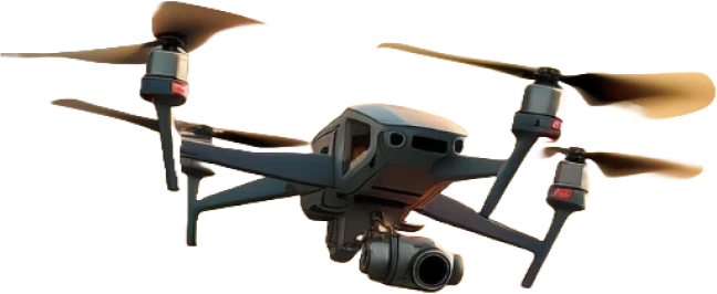
Battery management determines how much ground you actually cover during a search window. A typical commercial search drone provides 25 to 35 minutes of flight time under ideal conditions, but real-world factors slash this significantly. Headwind flight reduces endurance by 20 to 30 percent, thermal camera operation drains batteries faster than standard cameras, and maintaining reserve power for emergency return flight consumes 15 to 20 percent of capacity.
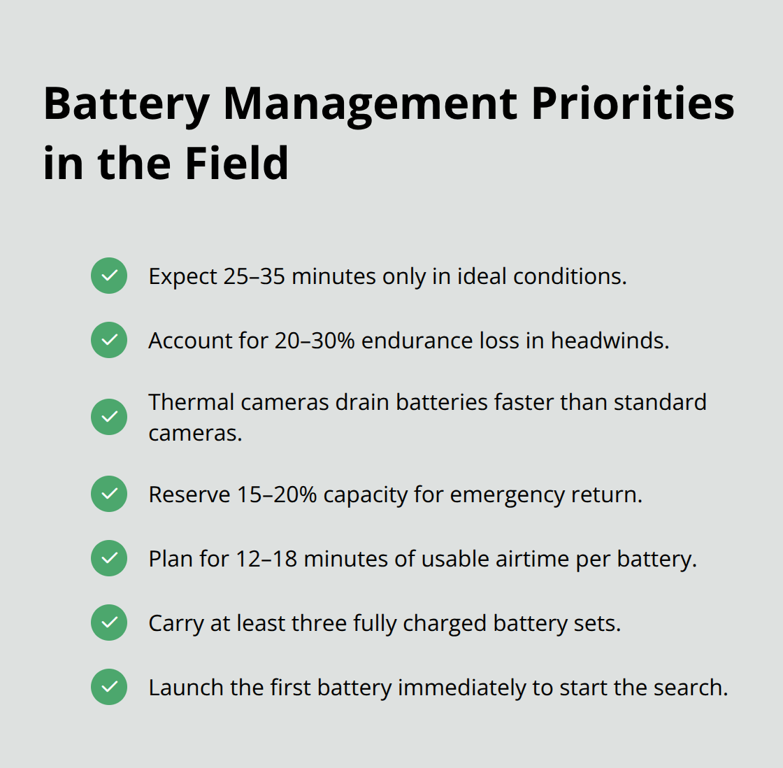
Your actual usable search time often drops to 12 to 18 minutes per battery. Carry three fully charged battery sets minimum for any search deployment, allowing continuous coverage with rotation time for swaps. Deploy your first battery immediately rather than waiting for perfect conditions, since those opening minutes of search often locate missing persons faster than extended operations later.
Communication Systems Prevent Critical Information Loss
Communication breakdown between drone operators and ground teams creates dangerous gaps where critical information gets lost or delayed. Establish a radio protocol before launching that includes exact coordinate callouts, visual descriptions, and response procedures. Ground teams need to know your drone’s position and flight direction at all times, and you need immediate feedback if someone spots movement or signs on the ground that your camera might miss.
Test your communication system with ground personnel during pre-flight coordination-radio interference from emergency vehicles or terrain features often degrades signals unexpectedly. A simple protocol prevents confusion when seconds matter most. Your operator and ground crew must speak the same language when lives depend on rapid information transfer.
Final Thoughts
Search drone deployment tips work because they combine speed, systematic coverage, and reliable detection into a coordinated response. Grid patterns eliminate coverage gaps. Thermal imaging finds people in darkness and fog. Rapid deployment procedures cut response time from hours to minutes. Battery management keeps your team searching continuously rather than waiting between operations.
Real search and rescue demands more than good intentions-it requires equipment that performs reliably, operators trained in proven techniques, and coordination systems that work under pressure. Weather will challenge you. Terrain will complicate your patterns. Communication will test your protocols. The teams that succeed prepare for these obstacles before they launch.
If your organization handles search and rescue operations, connect with a team that specializes in this work. IE Drone Services brings certified expertise, proven equipment, and the operational knowledge that separates effective searches from wasted time. Contact us to discuss how our thermal search capabilities can improve your response protocols and increase your success rate when lives depend on speed.