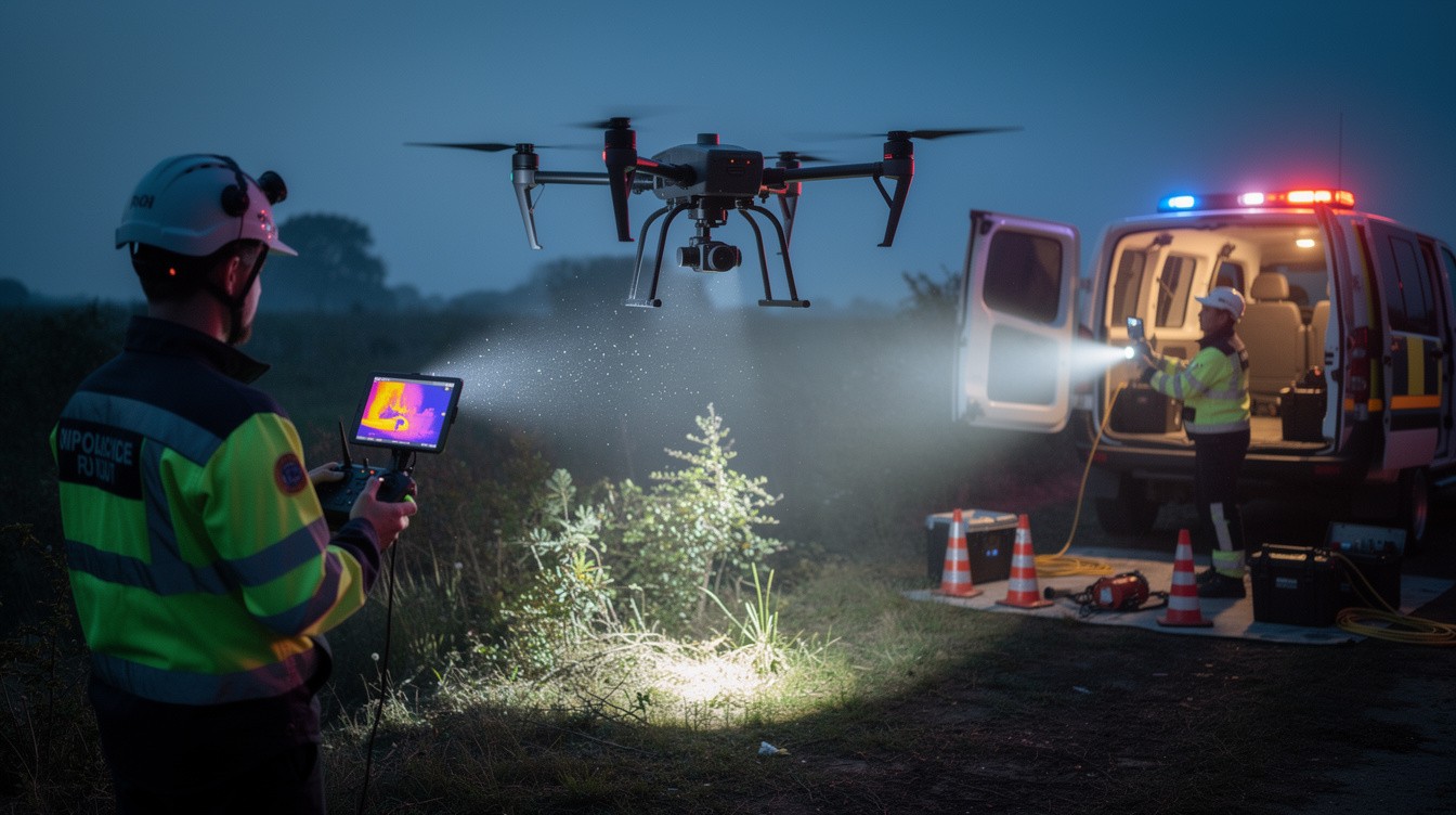
Every second counts in a search and rescue operation. When someone goes missing in remote terrain or low-light conditions, traditional ground teams face serious limitations-they cover ground slowly and miss critical details from above.
At IE Drone Services, we’ve seen firsthand how aerial technology transforms rescue outcomes. Drones provide real-time visibility, cover vast areas in minutes, and help responders locate missing people faster than ever before. This guide walks you through emergency drone search guidance and the protocols that save lives.
How Drones Accelerate Search and Rescue Operations
Cover Larger Areas Faster Than Ground Teams
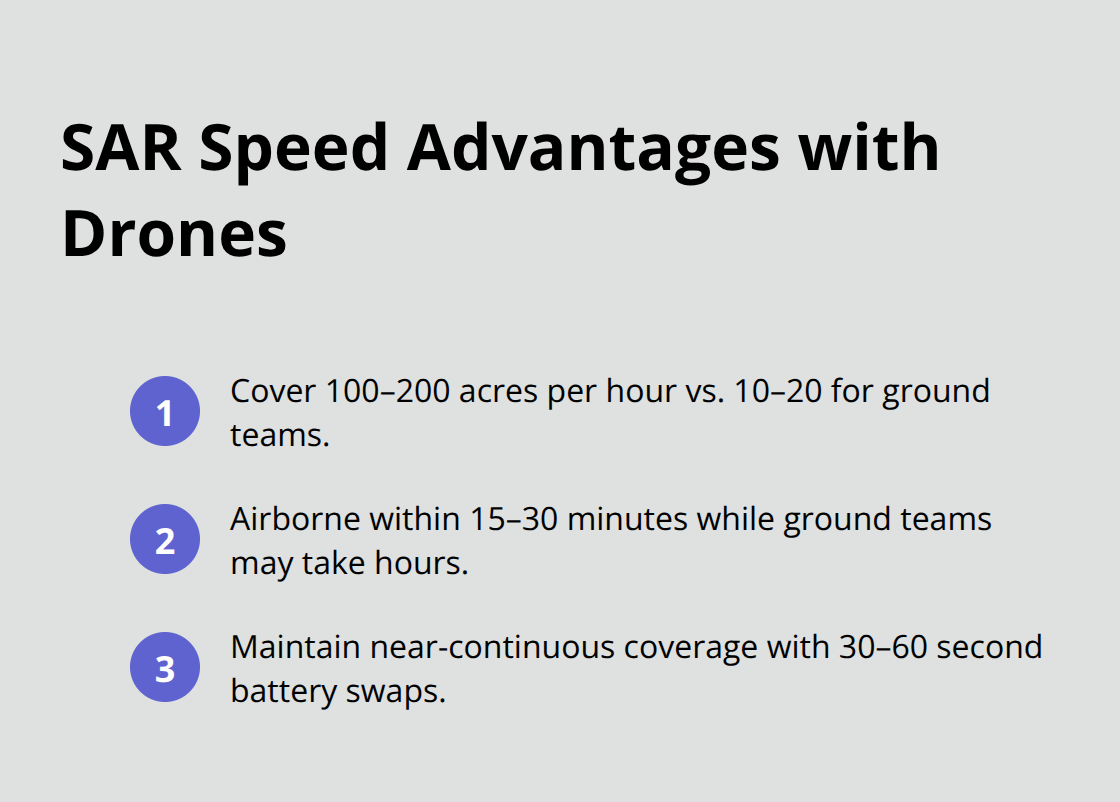
Professional search and rescue drones cover larger areas faster than ground teams, managing 100 to 200 acres per hour depending on terrain and flight range, while ground teams cover only 10 to 20 acres per hour. That significant advantage matters when someone’s life depends on speed. In wilderness SAR, drones become airborne and actively search within 15 to 30 minutes of a missing person report, while ground teams spend hours mobilizing and navigating difficult terrain. This speed differential directly translates to higher survival rates, especially in situations where exposure or injury compounds the danger.
Thermal Imaging Reveals What Ground Teams Miss
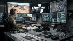
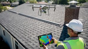
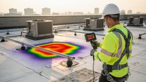
The moment a drone launches, incident commanders receive live video feeds from high-resolution visual and thermal cameras. Thermal imaging reveals what ground teams miss by providing continuous situational awareness across smoke, foliage, and complex terrain, detecting human heat signatures in conditions that blind ground teams. Multiple team members can view the same feed simultaneously, which eliminates communication delays and interpretation gaps. Ground teams searching the same area might miss a person hidden behind rocks or obscured by forest canopy, but aerial thermal data reveals what remains invisible from ground level. The U.S. Coast Guard and other maritime agencies have adopted drones specifically because they extend search range and dramatically accelerate response in large water areas where ground-based searching proves impossible.
Battery Swaps Maintain Continuous Coverage
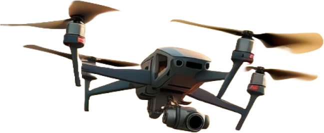
Professional SAR drones provide 20 to 45 minutes of flight time per battery, and operators swap batteries in 30 to 60 seconds. This means a single team can maintain near-continuous aerial coverage over a search zone without gaps. Operators plan systematic flight grids and GPS-guided routes that ensure no areas slip through unmapped. Obstacle avoidance systems with 360-degree awareness help drones navigate trees, buildings, and terrain while maintaining search patterns. Unlike manned aircraft, drones operate in light rain, snow, and moderate wind conditions that would ground helicopters, so search operations continue when weather prevents other aerial assets from flying.
Weather Resistance Keeps Operations Moving
Drones function in environmental conditions that force manned aircraft to stand down. Light precipitation, snow, and moderate winds no longer halt aerial reconnaissance. This operational flexibility means rescue teams maintain momentum during critical hours when weather would otherwise create dangerous delays. The ability to operate continuously-regardless of conditions-separates drone-assisted rescues from traditional methods that depend on clear skies and stable weather windows.
Understanding how drones accelerate coverage and visibility sets the foundation for effective search missions. The next section examines the specific protocols that transform this speed advantage into coordinated, professional rescue operations.
How to Coordinate Drone Operations with Emergency Responders
Establish Direct Communication Before Launch
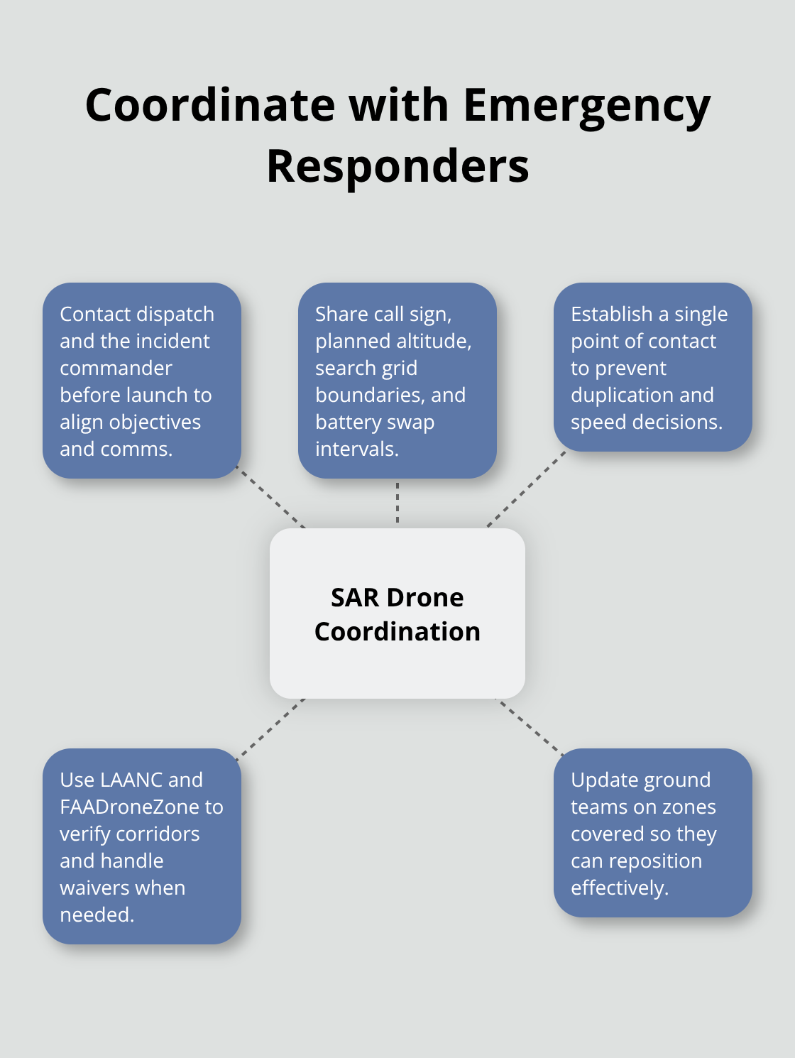
Launching a drone into an active search zone without coordination creates chaos. Emergency responders on the ground need to know where the drone operates, what it searches for, and how to receive real-time intelligence from the air. Contact your local emergency dispatch center before launch and establish a direct communication channel with the incident commander. Provide them with your drone’s call sign, planned flight altitude, search grid boundaries, and battery swap intervals.
Ground teams need to know when the drone covers specific zones so they can avoid searching the same area twice and position themselves strategically based on what the drone reveals. Establish a single point of contact between your drone operation and incident command. This coordination prevents wasted effort and accelerates the overall rescue timeline.
Navigate Airspace Requirements and Regulatory Compliance
The FAA requires that drone operations coordinate with manned aircraft and local airspace users, but effective SAR operations demand coordination that extends far beyond regulatory compliance. Use LAANC to verify that your planned flight corridors don’t conflict with manned traffic. If your search area sits near an airport or controlled airspace, submit your request through FAADroneZone and allow 90 days for waiver processing if you need beyond-visual-line-of-sight authorization.
In time-critical rescues, pre-coordinate with local authorities before the emergency occurs so teams understand drone capabilities and deployment timelines. This advance planning eliminates delays when seconds matter most.
Plan Thermal Imaging Operations for Maximum Detection
Thermal imaging works best when operators understand exactly where ground teams have already searched and where gaps remain. A drone’s thermal camera detects human heat signatures at night and through fog, but only if the operator knows the mission parameters. Before takeoff, confirm the missing person’s last known location, clothing description, and any medical conditions that might affect heat signature visibility.
Plan your flight grid to cover the most likely search area first, using GPS-guided routes that eliminate coverage gaps and maximize battery efficiency. Professional SAR drones achieve systematic coverage when flight paths follow structured patterns rather than random searching.
Optimize Altitude and Battery Management
Set your flight altitude between 150 and 300 feet above ground level to balance thermal camera resolution with search area coverage. Higher altitudes provide wider coverage but reduce thermal sensitivity, while lower altitudes improve target detection but cover less ground per battery cycle. Operators should plan for a 10-minute reserve battery before landing to account for unexpected terrain or wind conditions.
Conduct Pre-Flight Site Assessment
Conduct a site survey before launch to identify obstacles, establish a safe landing zone, and verify GPS signal strength in the search area. Test your thermal camera at your planned operating altitude to confirm that environmental conditions don’t create false heat signatures that waste response time on false leads.
With coordination protocols and thermal operations established, the next critical element involves understanding the specific safety standards and training requirements that protect both responders and the public during active rescue missions.
Safety and Compliance in Active Rescue Operations
Establish Dedicated Communication Channels
Operating a drone in an active search and rescue mission means you work alongside ground teams, manned aircraft, and emergency responders who depend on your professionalism and adherence to strict protocols. Communication failures kill rescue operations faster than equipment malfunctions. Establish a dedicated radio channel or phone line with the incident commander before your drone launches. The FAA requires coordination with manned aircraft, but effective SAR demands far more than regulatory checkbox compliance. You need real-time situational awareness with ground teams so they understand your drone’s position, altitude, battery status, and thermal findings. The New York State Police located a lost hiker in the Adirondack Mountains in 2019 using thermal imaging, but that success depended entirely on seamless coordination between aerial operators and ground search teams who knew exactly where the drone was searching and what it had already covered.
Meet FAA Certification and Altitude Requirements
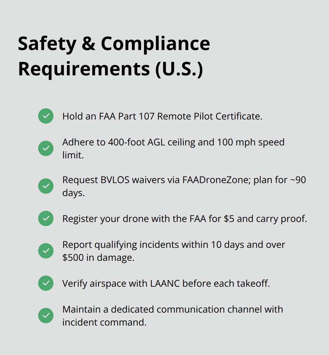
Your remote pilot certificate under Part 107 is non-negotiable. The FAA sets a 400-foot altitude ceiling and 100 mph speed limit for drone operations, and these aren’t suggestions. If you need beyond-visual-line-of-sight authority for a large search area, file for a waiver through FAADroneZone and plan ahead because the FAA typically responds within 90 days. In time-critical rescues, this timeline is unacceptable, which is why pre-coordination with local authorities before emergencies occur eliminates delays when they matter most.
Register Your Drone and Report Incidents
Register your drone with the FAA for five dollars and carry that registration with you during every operation. If your search results in a serious injury, loss of consciousness, or property damage exceeding five hundred dollars, report the incident to the FAA within ten days. These requirements exist to maintain accountability and protect public safety throughout rescue operations.
Verify Airspace Status Before Takeoff
Use LAANC to check airspace status before takeoff, especially near airports or controlled airspace where unauthorized operations create genuine hazards to manned flight. This verification step takes minutes but prevents conflicts that could compromise both your rescue mission and manned aircraft safety. Your thermal camera reveals missing people in conditions where ground teams cannot see, but only if you maintain professional standards throughout the mission.
Final Thoughts
Drones have fundamentally transformed how search and rescue teams respond to emergencies. The speed advantage alone-covering 100 to 200 acres per hour versus 10 to 20 for ground teams-saves lives when every minute determines survival. Thermal imaging reveals missing people in darkness, fog, and dense vegetation where ground searchers would spend hours finding nothing, while battery swaps maintain continuous coverage and weather resistance keeps operations moving when traditional aircraft cannot fly.
Speed and capability mean nothing without proper protocols, however. Emergency drone search guidance demands coordination with incident commanders, strict adherence to FAA regulations, and operator certification that reflects the responsibility you carry. The New York State Police, U.S. Coast Guard, and rescue teams across the country have proven that drones work-but only when operators follow established safety standards and communicate seamlessly with ground teams.
Pre-coordinate with local authorities before emergencies occur, verify airspace status before launch, and maintain direct communication with incident command throughout the mission. We at IE Drone Services operate FAA-certified teams equipped with high-resolution and infrared cameras specifically designed for search-and-rescue missions, and we understand that when someone goes missing, delays cost lives. Contact IE Drone Services to discuss how we can accelerate your rescue response and deliver the aerial intelligence your ground teams need.