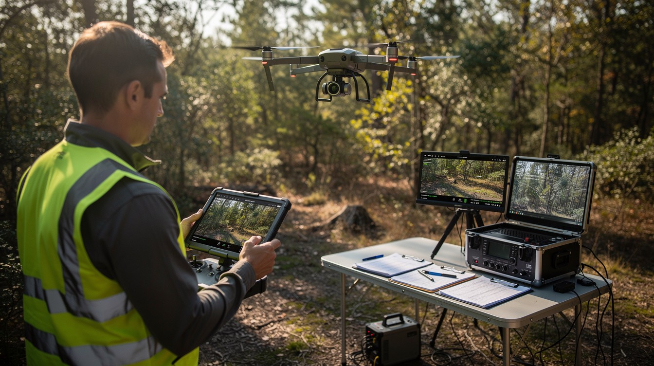
Every second counts in a search and rescue operation. Real-time drone data eliminates delays that can mean the difference between finding someone and losing them.
At IE Drone Services, we’ve seen how live aerial feeds and instant data transmission transform rescue teams from reactive to proactive. High-resolution cameras and thermal imaging give command centers the information they need to make critical decisions immediately, not hours later.
How Real-Time Drone Data Cuts Response Time
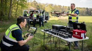
The difference between finding a missing person and losing them often comes down to minutes. Real-time drone data compresses what used to take hours into seconds. When a search and rescue team deploys a drone, live video feeds reach command centers immediately, allowing coordinators to direct ground teams toward actual victim locations rather than guessing based on last-known positions. According to the European Union Aviation Safety Agency, real-time thermal data from visual, thermal, and night-vision sensors accelerates aerial search decisions significantly.
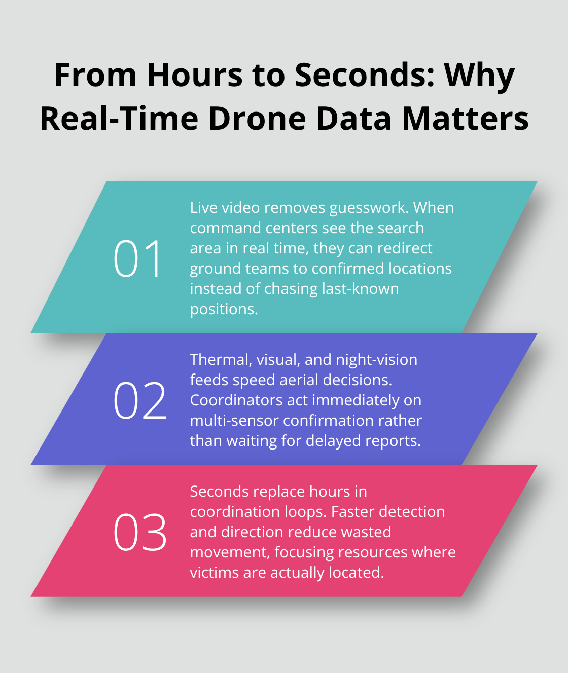
In mountainous terrain, where traditional search methods fail, drones equipped with infrared imaging identify heat signatures that ground teams cannot detect.
The Data Link Determines Your Range
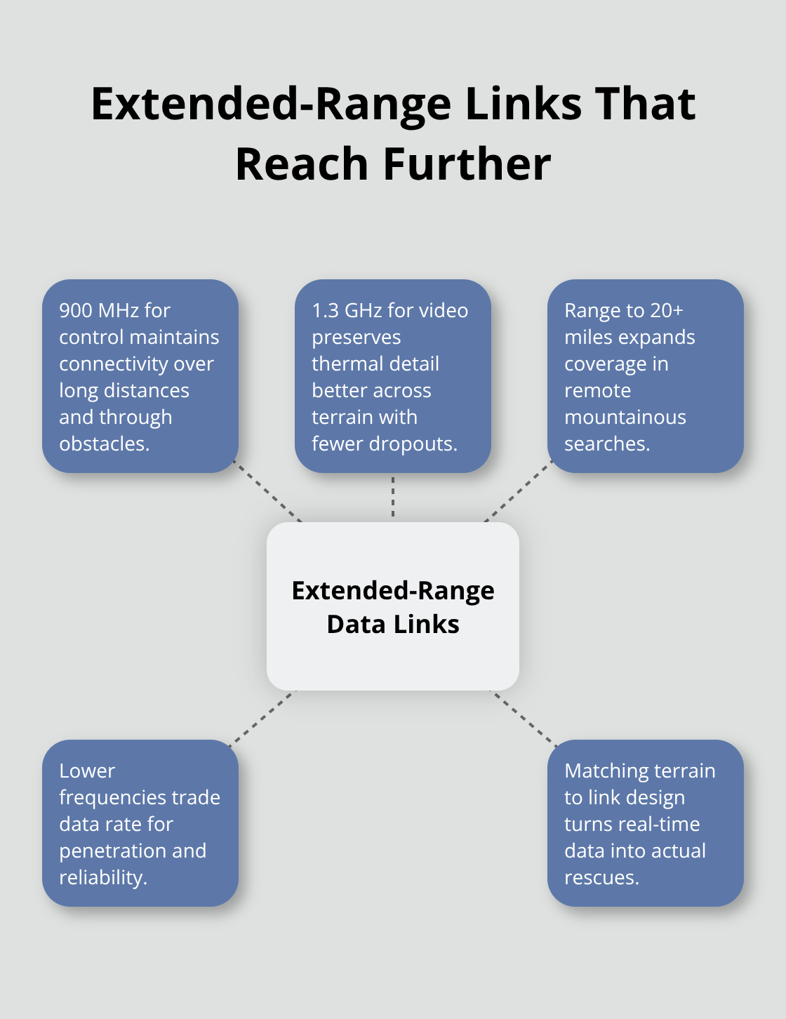
Real-time data transmission sounds simple until you operate in the field. The data link-the wireless connection between your drone and ground control station-determines whether you receive crystal-clear video at 20 miles or grainy footage at 4 miles. Most commercial systems operate on 2.4 GHz for control and 5 GHz for video, delivering roughly a 4-mile range. This works for suburban searches but fails in remote mountainous areas where victims are often found. Lower frequency bands like 900 MHz for control and 1.3 GHz for video extend your range to 20+ miles and penetrate obstacles better, which matters when searching in forested or canyon terrain where signal degradation kills your operation. The choice of frequency directly impacts whether your team receives actionable intelligence in time.
Accuracy Matters More Than Speed Alone
Teams often assume faster data means better decisions, but inaccurate information creates false confidence. Sensor fusion combines standard cameras, thermal imaging, and night-vision data simultaneously-reducing false leads that waste critical rescue resources. Real-time coordination through information-sharing platforms, supported by ground-based detection tools, strengthens decision-making by eliminating isolated data points. A single thermal signature without visual confirmation sends teams chasing shadows. Multi-sensor real-time feeds with synchronized ground-truth verification accelerate actual rescues rather than false deployments. The speed of data delivery matters only when that data is accurate enough to act on immediately.
Selecting the Right Platform for Your Terrain
Different search environments demand different technical approaches. Suburban searches benefit from standard commercial platforms with adequate range, while remote mountainous operations require extended data link capabilities and robust sensor payloads. Your terrain, search scope, and weather conditions should drive platform selection before you ever launch. The wrong equipment choice-even with real-time data flowing-leaves your team operating blind in the moments that matter most. Understanding these technical constraints upfront prevents costly mission failures when seconds count.
What Sensors Transform Raw Aerial Footage Into Actionable Intelligence
Standard Cameras, Thermal Imaging, and Night Vision Work Together
High-resolution cameras alone do not solve search and rescue problems-the combination of multiple sensor types working simultaneously determines whether your team receives intelligence they can act on. Standard RGB cameras excel at daytime searches in clear conditions, capturing detail that helps teams identify victims or hazards across wide areas. However, daylight searches represent only part of the operational reality. Thermal imaging detects heat signatures from missing persons in complete darkness, dense forest canopy, and terrain where visual confirmation fails.
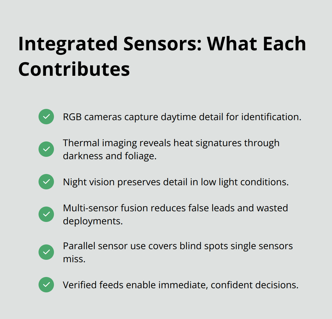
Mountainous SAR operations using integrated sensor systems achieved high victim-identification success rates through the combination of multiple sensor types working in parallel. The reason thermal imaging outperforms visual search in difficult terrain is straightforward: a person’s body temperature creates a distinct heat signature regardless of whether they wear camouflage, hide in shadow, or lie beneath vegetation. Night-vision sensors extend this capability further, providing real-time greyscale imagery that preserves detail in low-light conditions where thermal alone cannot distinguish between a human heat signature and ambient ground warmth. The integration of these three sensor types-standard camera, thermal, and night vision-eliminates the blind spots that plague single-sensor operations.
Frequency Selection Determines Your Operational Range
Wireless transmission systems determine whether your sensor data reaches decision-makers in seconds or becomes useless delay. The data link bandwidth and frequency directly control whether you transmit high-fidelity thermal video or degraded, compressed footage that loses the precision needed for victim confirmation. Using 2.4 GHz for drone control and 5 GHz for video transmission yields approximately 4 miles of reliable range-adequate for suburban searches but insufficient for remote operations where victims are statistically more likely to be found. Extended-range configurations using 900 MHz for control and 1.3 GHz for video extend your operational reach beyond standard ranges, with superior penetration through forest and canyon walls. Lower frequency bands sacrifice data rate to gain range and obstacle penetration, a tradeoff that becomes critical when searching mountainous terrain where signal degradation kills your operation faster than any other technical failure.
Ground-Based Tools Strengthen Real-Time Coordination
Sensor capability means nothing without the transmission infrastructure to deliver that data reliably. Ground-based detection tools and pilot-location tracking systems complement drone telemetry, strengthening real-time coordination when multiple teams operate simultaneously across complex terrain. These systems work together to eliminate isolated data points that create false confidence in search decisions. When your thermal sensors detect a heat signature, ground verification tools confirm whether that signature represents an actual victim or environmental noise. This layered approach transforms raw sensor data into decisions your teams can act on immediately. The wireless transmission system is not secondary infrastructure-it is the limiting factor that determines whether your sensors provide actionable intelligence or expensive footage nobody can use in time. Understanding how sensors, data links, and ground-based systems interact reveals why equipment selection matters before you ever launch a search operation.
Where Real-Time Drone Data Delivers Actual Rescues
Thermal Imaging Achieves High Success Rates in Mountainous Terrain
Real-time drone data only matters when it reaches decision-makers fast enough to change the outcome. In mountainous SAR operations, drones equipped with thermal imaging detect heat signatures in darkness, smoke, fog, or dense foliage, ensuring visibility in low-light conditions. That success depends entirely on your team’s ability to process thermal signatures, verify locations, and direct ground personnel before the victim’s condition deteriorates further.
When a drone transmits live thermal video from a 4-mile range using standard 2.4 GHz and 5 GHz bands, your command center receives usable footage within seconds. However, mountainous terrain introduces signal degradation that compressed video cannot overcome. A victim lying in shadow or dense forest creates a heat signature that thermal sensors detect clearly, but only if your data link preserves enough image fidelity for your team to distinguish a human heat signature from ambient ground warmth.
Extended Range Penetrates Obstacles Better
The difference between a successful rescue and a failed search often comes down to whether your wireless transmission system delivers high-quality thermal data or degraded footage that creates false confidence in negative results. Extended-range data link configurations using 900 MHz for control and 1.3 GHz for video penetrate obstacles better and extend your operational reach to 20+ miles, which becomes essential when searching areas where victims are statistically more likely to be found. Your terrain dictates your equipment choice, and your equipment choice determines whether real-time drone data translates into actual rescues.
Synchronized Information Eliminates Wasted Deployments
Coordinating multiple search teams across complex terrain requires synchronized real-time information that eliminates conflicting deployments and wasted resources. When ground teams operate in separate canyons or valleys, they cannot see each other’s positions or search progress without centralized real-time data. A drone hovering above the search area provides live video that shows all teams simultaneously, allowing your command center to direct personnel toward confirmed victim locations and away from areas already thoroughly searched.
Information-sharing platforms that integrate drone telemetry with ground-based detection tools create a unified operational picture that reduces response time significantly. Real-time drone data allows remote hazard assessment, reducing risk to ground teams during urgent searches. Thermal imaging eliminates the need to deploy personnel into unstable terrain before confirming whether a heat signature represents an actual victim or environmental noise.
Verification Reduces Unnecessary Exposure
Your command center can verify the signature through live video, then direct ground teams directly to the precise location rather than sending searchers into hazardous areas based on incomplete information. This approach reduces unnecessary exposure and concentrates your team’s effort where it matters most. Real-time drone data succeeds only when your entire operation-from sensor selection to data transmission to ground coordination-works as an integrated system designed for your specific terrain and search scope.
Final Thoughts
Real-time drone data transforms search and rescue operations by connecting thermal imaging, extended-range data links, and ground-based verification into a single coordinated system. Your command center receives live thermal video from mountainous terrain, and your teams move toward confirmed victim locations instead of searching blindly. This shift from reactive response to proactive action saves lives when seconds determine outcomes.
Technology integration succeeds only when your equipment, sensors, and coordination systems work together as a unified operation. Selecting the right platform for your terrain, understanding your data link limitations, and synchronizing information across multiple teams eliminates wasted deployments and reduces unnecessary exposure to hazardous conditions. Your search scope and environment determine your technical approach, and that approach determines whether real-time drone data translates into actual rescues.
We at IE Drone Services understand these operational realities because we work in the field with FAA-certified operators who deploy thermal imaging and extended-range data transmission for search-and-rescue operations where seconds determine outcomes. Contact IE Drone Services to discuss how real-time drone data can strengthen your search and rescue response and reduce response times when it matters most.