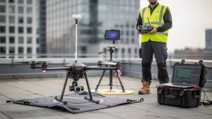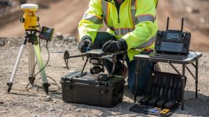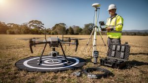
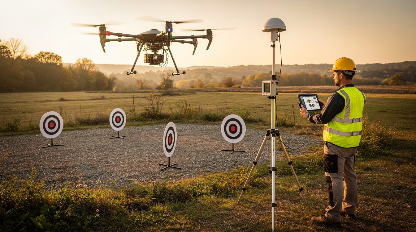
Drone technology has transformed how professionals capture land data. At IE Drone Services, we’ve seen firsthand how mapping and surveying with drones delivers results that traditional methods simply can’t match.
This guide walks you through the technology, real-world applications, and concrete advantages that make drone surveying the smarter choice for your next project.
How Drone Mapping and Surveying Works
LiDAR and Photogrammetry: Two Distinct Technologies
Modern drone surveying relies on two primary technologies that work independently or together to generate accurate site data. LiDAR, which stands for Light Detection and Ranging, fires laser pulses at the ground and measures how long they take to return, creating precise 3D point clouds that penetrate vegetation and capture terrain beneath tree cover. Photogrammetry stitches together hundreds of overlapping photographs taken from different angles to build detailed 3D models and orthomosaics. LiDAR excels in densely vegetated areas or when you need bare-earth models, while photogrammetry delivers superior color detail and works well for construction documentation. The choice between them depends on your project requirements rather than forcing every project into one approach.
Real-Time Processing Accelerates Project Timelines
Data collection happens in flight, but the real advantage emerges in processing. Traditional surveying required surveyors to spend days or weeks in the field taking measurements, then additional weeks processing that data in an office. Drone surveys now capture entire properties in 30 minutes to 2 hours, and modern software processes that data within 24 to 48 hours. This acceleration means construction managers receive current site conditions before their next planning meeting, not after decisions have already been made.
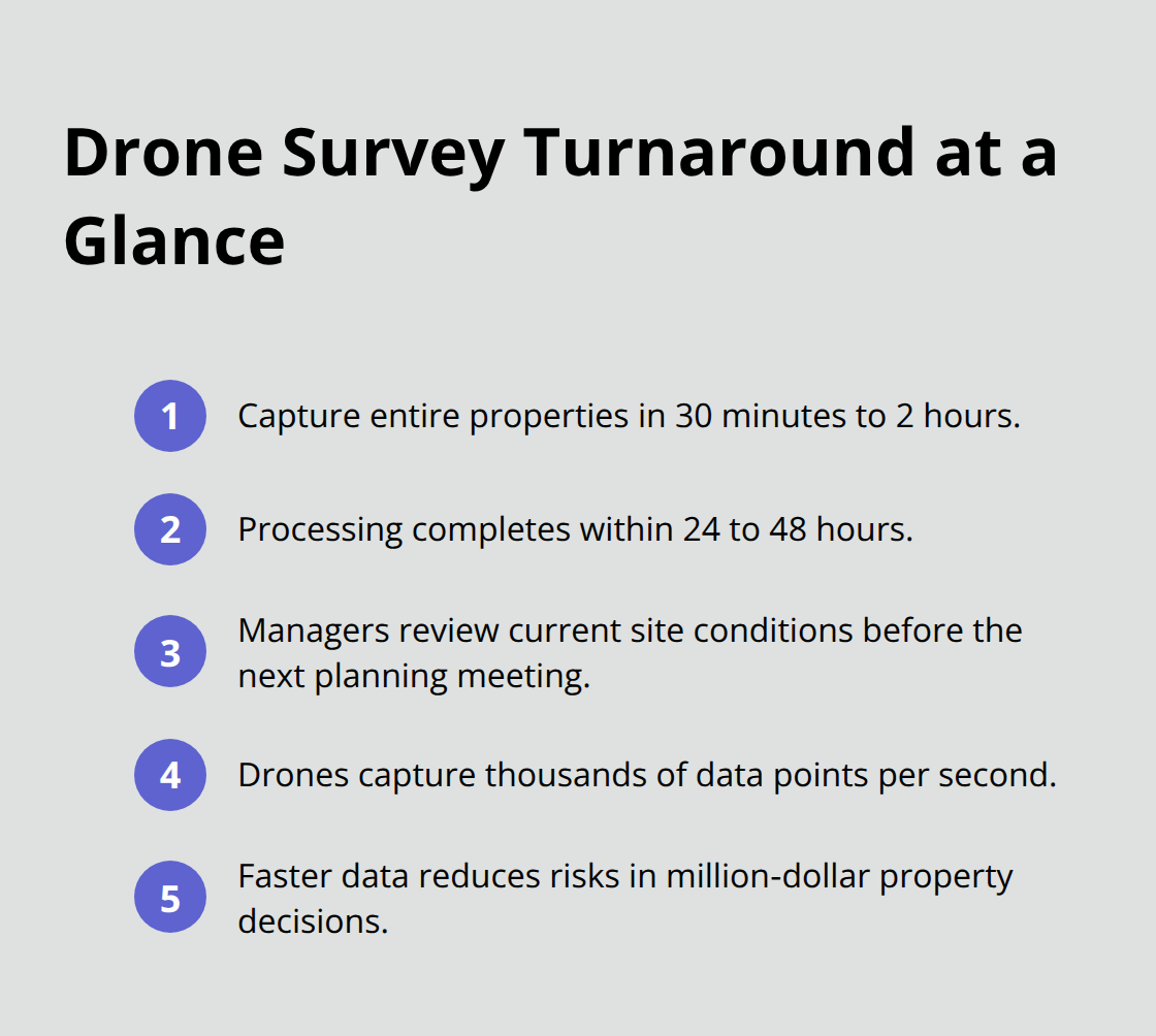
The drone captures thousands of data points per second, far exceeding what ground crews accomplish in a day. For property valuations, this speed matters enormously because market conditions shift rapidly, and outdated survey data influences decisions on properties worth millions of dollars.
Accuracy Outperforms Traditional Methods
Drone surveys consistently achieve horizontal accuracy within 2 to 5 centimeters and vertical accuracy within 5 to 10 centimeters when properly calibrated with ground control points. Traditional surveying with total stations reaches similar precision but requires significantly more time and cost to cover large areas. Drone surveys reduce data collection costs by 50 to 75 percent compared to traditional methods on projects exceeding 50 acres. Drones access terrain that would take ground crews hours to traverse safely (rocky slopes, flood-prone areas, and industrial sites with hazardous conditions become manageable from the air). The high-resolution imagery captures details that manual surveys miss entirely, revealing drainage patterns, soil variations, and structural issues that inform better project planning and risk assessment.
These technological advantages translate directly into practical applications across multiple industries. Construction managers, property assessors, and infrastructure teams all benefit from the speed and precision that drone surveying provides, which leads us to examine how these tools solve real-world challenges on job sites and in the field.
Applications of Drone Mapping and Surveying
Construction Site Progress Tracking
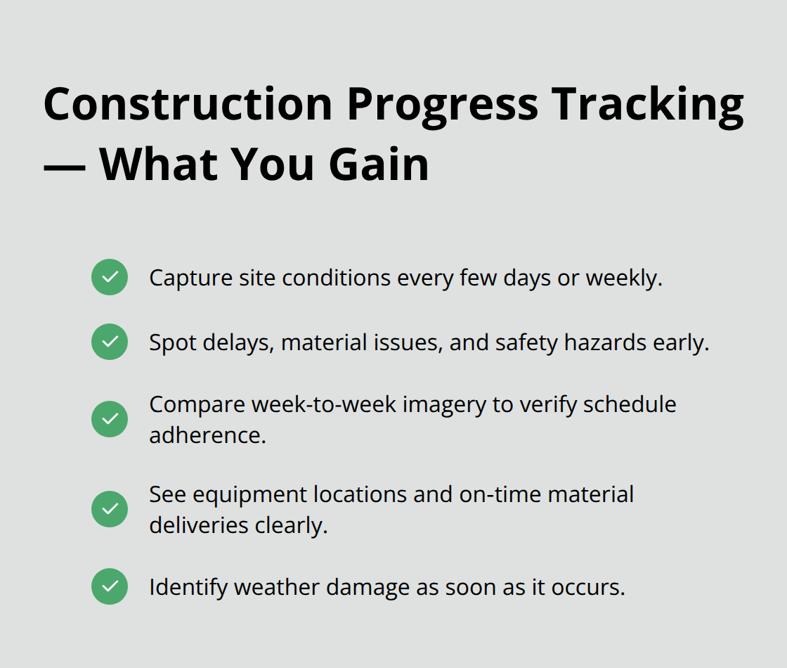
Construction managers waste thousands of dollars annually because they lack current site intelligence. Drone surveys eliminate this problem by capturing conditions every few days or weekly, allowing teams to spot progress delays, material placement issues, and safety hazards before they compound into expensive rework. A construction project manager at a 200-unit residential development can now compare aerial imagery from week to week and verify that foundation work matches the schedule within hours instead of waiting for on-site inspections that happen days later. The high-resolution orthomosaics reveal exactly where equipment sits, whether materials arrived on schedule, and if weather damage occurred overnight.
Property Valuation and Land Assessment
Property valuations depend on accurate land measurements and current condition assessments, and drone surveys deliver both simultaneously. A property assessor valuing a 40-acre industrial site traditionally spent two days measuring boundaries and documenting structures; drone surveys now complete this work in a single flight with centimeter-level accuracy, reducing assessment time by 60 to 70 percent. The aerial perspective captures details that influence valuation decisions-drainage patterns, vegetation coverage, and structural conditions-visible only from above. This speed matters enormously because market conditions shift rapidly, and outdated data influences decisions on properties worth millions of dollars.
Infrastructure Inspection Without Worker Risk
Infrastructure teams face the most dangerous surveying work because inspections often require access to unstable, elevated, or contaminated areas. Thermal imaging from drones identifies electrical faults in power lines before they fail, detects moisture intrusion in building envelopes that leads to structural decay, and reveals missing or damaged roofing materials without sending workers to heights where falls represent a leading cause of workplace fatalities. A utility company inspecting 50 miles of transmission lines saves weeks of ground-based work and eliminates the risk of worker injury by flying a drone equipped with thermal and high-resolution cameras along the entire corridor in two to three days. Bridge inspections that once required road closures and specialized equipment now happen with drones hovering beneath spans and capturing concrete deterioration, rebar exposure, and joint separation in precise detail.
Infrastructure teams need actionable data fast, and thermal imaging combined with high-resolution photography delivers exactly that, enabling faster maintenance decisions and preventing costly failures before they occur. This combination of speed, safety, and precision makes drone surveying the obvious choice for teams managing critical assets across multiple locations.
Why Drone Surveys Cost Half as Much as Traditional Methods
The Price Comparison That Changes Everything
A traditional land survey covering 100 acres costs between $8,000 and $15,000 and takes 5 to 10 days of fieldwork plus processing time. A drone survey covering the same area costs $2,000 to $4,000 and delivers results within 48 hours. For a developer managing multiple 50-acre sites annually, switching to drone surveying saves $30,000 to $60,000 per year while compressing timelines so project decisions happen weeks earlier. The cost advantage intensifies on difficult terrain where traditional surveyors need specialized equipment, multiple crew members, and hazard pay. A rocky slope or flood-prone area that requires traditional crews to work slowly and carefully becomes a 20-minute drone flight.
Thermal Imaging Multiplies Your Value
Thermal imaging adds another layer of value without proportional cost increases because the same flight captures both visual and infrared data simultaneously, eliminating separate inspection appointments. A single drone mission identifies electrical faults in power lines, detects moisture intrusion in building envelopes, and reveals missing roofing materials in one operation. Traditional approaches require multiple site visits with different specialists, each charging separate fees and scheduling delays. This consolidation of services into one flight means property owners and facility managers receive comprehensive data without multiplying their expenses.
Delays Cost More Than You Realize
The real savings emerge when you calculate what delays cost your business. Construction projects that stall because survey data arrived three weeks late lose momentum, push back completion dates, and inflate labor costs on subsequent phases. A 200-unit residential development delayed by two weeks costs $50,000 to $100,000 in extended supervision, financing, and equipment rental.
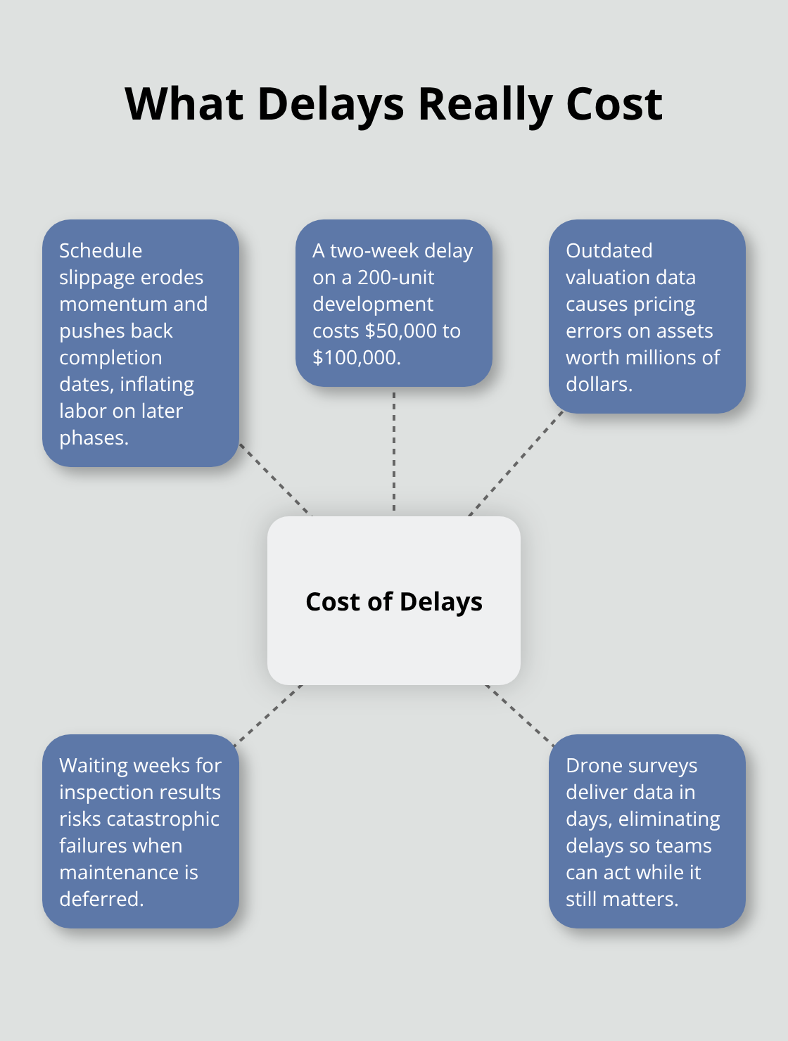
Property valuations that rely on outdated information lead to pricing errors on assets worth millions, affecting both buyer and seller decisions. Infrastructure teams that wait weeks for inspection results risk catastrophic failures when maintenance issues go unaddressed. Drone surveys eliminate these delays entirely because data arrives in days, not weeks, allowing teams to make decisions while they still matter.
Equipment Investment Favors Drones
Modern survey-grade drones cost $15,000 to $30,000 compared to traditional surveying equipment exceeding $50,000, and drones require fewer operators to generate superior results. Organizations recoup their investment within months rather than years when they factor in lower upfront costs, minimal crew requirements, and dramatically faster turnaround. A single operator flies a drone across hundreds of acres while traditional surveying demands multiple crew members working in the field simultaneously. This efficiency advantage compounds across projects, making drone technology the financially rational choice for any organization conducting regular surveys or inspections.
Final Thoughts
Drone surveying has fundamentally changed how professionals approach mapping and surveying with drones across construction, property assessment, and infrastructure management. The technology delivers measurable results: 50 to 75 percent cost reductions on large projects, accuracy within 2 to 5 centimeters horizontally, and turnaround times compressed from weeks to days. These aren’t theoretical advantages-they translate directly into faster project decisions, safer working conditions, and better financial outcomes for organizations that adopt the technology.
The market reflects this shift as drone surveying demand continues accelerating across industries that recognize traditional methods waste both time and money. Construction managers who once waited weeks for survey data now receive updated site conditions within 48 hours, property assessors complete valuations in a fraction of the previously required time, and infrastructure teams eliminate worker risk through aerial thermal imaging that identifies problems before they become catastrophic failures. Your next project doesn’t need to follow the old surveying playbook when mapping and surveying with drones eliminates the delays, costs, and safety risks that plague traditional approaches.
We at IE Drone Services specialize in exactly this work, and our FAA-certified team uses high-resolution and thermal cameras to provide aerial photography and thermal building inspections that give you actionable data within days. Contact us to discuss how drone surveying can accelerate your next project and reduce costs while improving safety and accuracy.