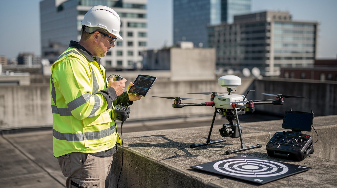
Los Angeles businesses are sitting on untapped opportunities when they rely on outdated surveying methods. Drone mapping in Los Angeles has transformed how companies collect site data, monitor projects, and make faster decisions.
We at IE Drone Services have seen firsthand how aerial imaging cuts project timelines in half while delivering precision that traditional surveys simply can’t match. Whether you’re in real estate, construction, or infrastructure, this technology is no longer optional-it’s competitive advantage.
What Drone Mapping Delivers for Los Angeles Projects
Accurate site surveys in days, not weeks
Drone mapping cuts the timeline for site surveys to days, sometimes hours. High-resolution aerial imagery reveals property boundaries, elevation changes, and existing structures with precision that traditional surveyors achieve only through expensive, time-consuming fieldwork. A single drone flight generates orthomosaic images-stitched aerial photos that function as highly accurate maps-covering hundreds of acres in one pass. For LA real estate developers, this means faster due diligence before purchasing land. For construction teams, it means identifying site constraints and planning logistics before crews arrive.
Real-Time Project Visibility Prevents Costly Delays
Construction projects in Los Angeles lose money the moment progress stalls without anyone noticing. Aerial documentation provided weekly or daily shows exactly what work teams have completed, what falls behind schedule, and where materials sit staged on-site. This visibility prevents costly rework and keeps subcontractors accountable. A construction manager can compare today’s aerial image against yesterday’s to confirm that concrete was poured on schedule or identify why excavation is delayed. The data also serves as legal documentation-if disputes arise about work completion or site conditions, the aerial record provides irrefutable evidence.
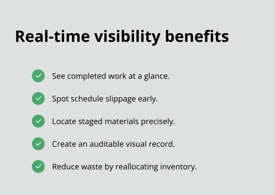
Material waste drops when teams can see unused inventory from above and redistribute it across multiple sites.
Thermal imaging cuts inspection costs dramatically
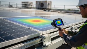
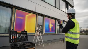
Infrastructure inspection-examining power lines, pipelines, or roof conditions-normally requires expensive equipment rentals and safety protocols that keep workers on the ground longer. Aerial thermal cameras identify roof leaks, insulation gaps, and equipment failures without sending technicians into hazardous spaces, reducing both labor hours and liability exposure. This speed directly lowers costs, particularly for industrial facilities spread across multiple Los Angeles locations. Companies that operate multiple properties benefit most from this approach, as a single aerial mission covers ground that would take traditional inspectors weeks to assess.
The financial advantage becomes clear when you compare labor intensity. Traditional methods demand crews spend hours at height or in confined spaces. Aerial thermal inspection completes the same assessment in a fraction of the time, with minimal risk to personnel. This efficiency advantage makes drone mapping the practical choice for LA businesses that need fast, accurate data without the overhead of conventional surveying.
Where Drone Mapping Delivers Real Results Across LA Industries
Real Estate: Faster Sales Through Aerial Context
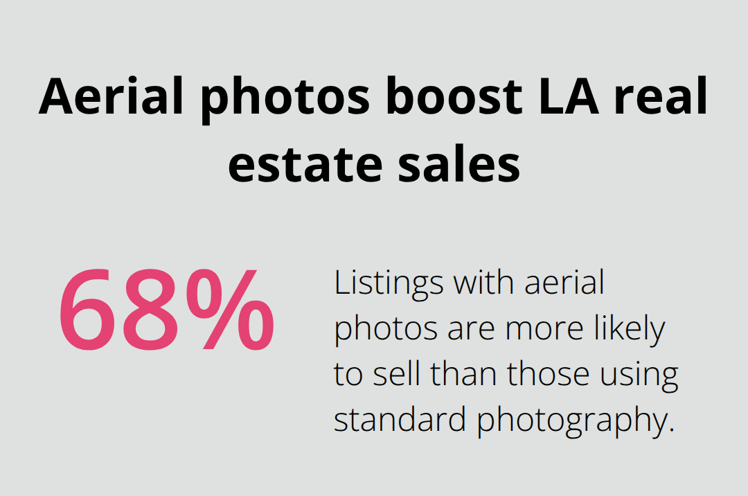
Real estate agents in Los Angeles waste thousands of dollars on traditional property photography when aerial imagery converts faster and commands higher sale prices. The National Association of Realtors reports that properties marketed with aerial photos are 68% more likely to sell than those using standard photography, and drone photography increases engagement by capturing full property context-surrounding neighborhoods, lot size, access points, and proximity to amenities that ground-level photos cannot show. A single drone flight produces orthomosaic maps that reveal exact property boundaries, which eliminates disputes during title transfer and accelerates escrow closing.
Developers analyze site topography and plan building placement using these aerial maps without expensive surveying crews, cutting pre-development costs by 30-40% compared to traditional methods. For commercial real estate, thermal imaging reveals roof condition and HVAC efficiency, giving buyers concrete data about maintenance needs before purchase.
Infrastructure: Preventing Costly Equipment Failures
Utility companies across Los Angeles inspect power lines, substations, and distribution networks across hundreds of miles-work that traditionally required climbing or helicopter rentals costing $2,000-5,000 per flight hour. Aerial thermal cameras identify hotspots that indicate equipment degradation or electrical faults before they cause outages affecting thousands of customers. Pipeline operators use high-resolution aerial surveys to monitor right-of-way conditions and detect corrosion risks from above, which eliminates the need for ground crews to traverse private property. This approach reduces both labor costs and safety exposure for companies managing critical infrastructure across the region.
Municipal Planning: Data-Driven Decision Making
Municipal planners in Los Angeles increasingly rely on drone-generated elevation maps and orthomosaics to evaluate infrastructure expansion projects, environmental impact, and zoning compliance without disrupting neighborhoods. Environmental assessment firms map wetlands, vegetation changes, and soil conditions across large areas in single flights, producing data that would take weeks using traditional field surveys. The consistency and speed of aerial data collection means Los Angeles municipalities make infrastructure decisions faster and defend those decisions with objective visual evidence rather than subjective reports. This shift toward aerial documentation has become standard practice for agencies managing growth and environmental compliance across the region.
These applications show why drone mapping has become essential for LA businesses-but selecting the right service provider matters just as much as the technology itself.
Professional Drone Mapping Outperforms Traditional Methods
Speed Cuts Project Timelines and Labor Costs
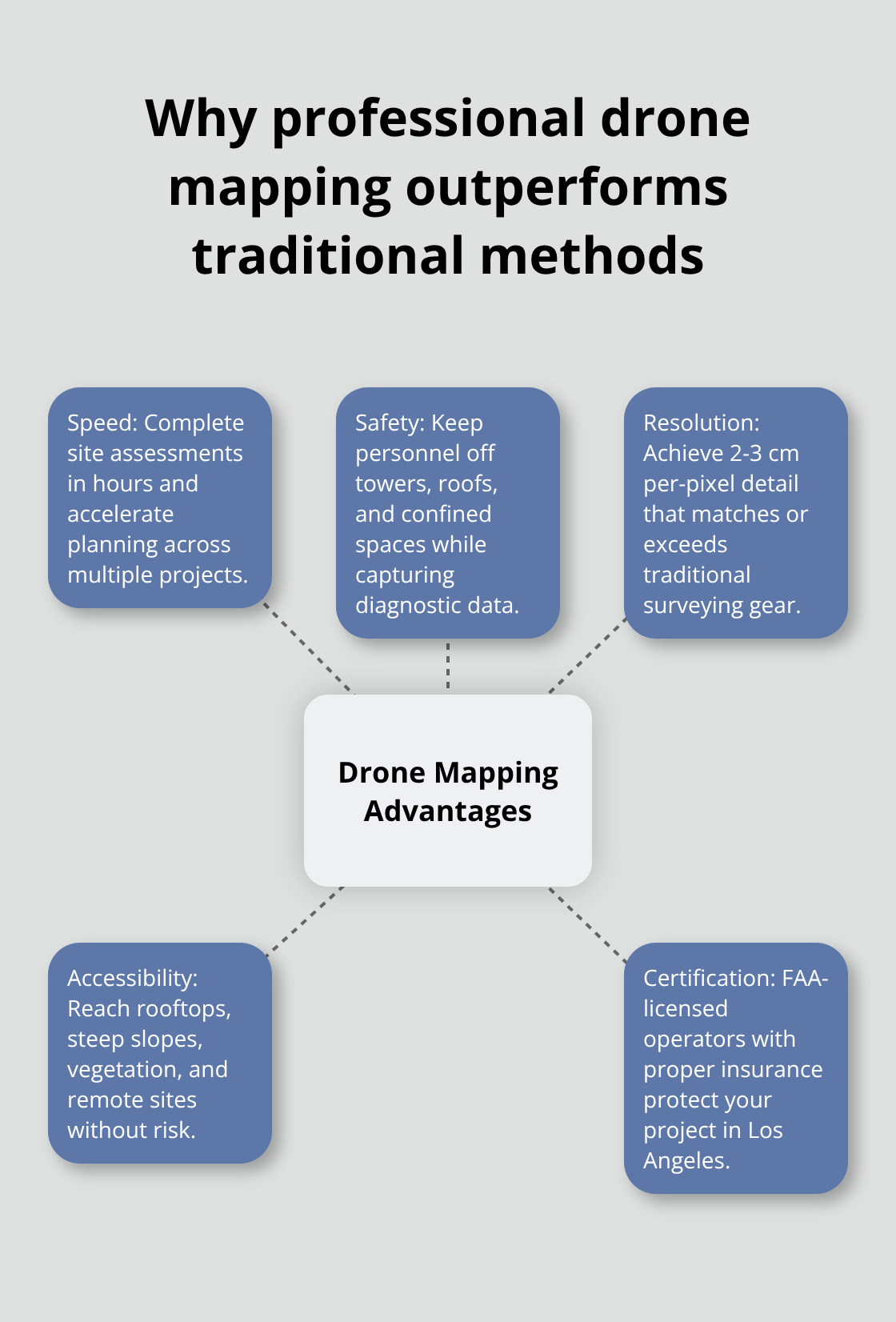
Traditional surveying crews in Los Angeles charge $2,000-4,000 per day and require weeks to complete site assessments. Drone mapping completes the same work in hours, not days, at a fraction of conventional surveying costs. When project timelines are tight, developers assess site conditions and move forward with planning while traditional surveyors are still scheduling crews. This speed advantage compounds across multiple projects-a real estate firm that processes five properties monthly saves weeks of calendar time and tens of thousands in labor expenses by switching to aerial surveys.
Safety Eliminates Worker Risk
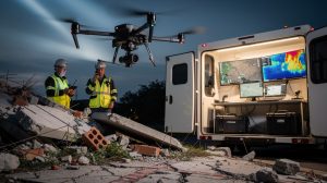
Aerial inspection removes workers from dangerous situations. Traditional methods require personnel to climb towers, traverse unstable terrain, or enter confined spaces to inspect infrastructure. Thermal imaging flights identify roof damage, electrical faults, and equipment failures from the air, keeping personnel grounded while delivering diagnostic data that would otherwise demand hours of on-site inspection. Power line assessments across remote Los Angeles County terrain no longer expose technicians to fall hazards or electrical exposure.
Resolution Quality Matches or Exceeds Traditional Equipment
High-resolution orthomosaics capture details down to 2-3 centimeters per pixel, revealing property boundaries, elevation changes, and material conditions with precision that matches or exceeds traditional surveying equipment. This level of detail serves multiple purposes: real estate agents market properties with aerial context that drives faster sales, construction managers plan logistics accurately, and infrastructure teams identify maintenance issues before they become emergencies. The consistency of aerial data collection means Los Angeles businesses make decisions backed by objective visual evidence rather than subjective field reports.
Hard-to-Reach Areas Become Accessible
Rooftops, steep slopes, densely vegetated terrain, and industrial sites with hazardous conditions all present obstacles to traditional ground crews. Drone operations access these areas without deploying personnel into dangerous situations. Pipeline assessments through private property, environmental surveys across large parcels, and infrastructure inspections in remote locations all benefit from this accessibility advantage. A single aerial mission covers ground that would take traditional inspectors weeks to assess on foot.
Professional Certification Protects Your Project
Professional drone operators understand local airspace regulations, hold FAA certifications and carry liability insurance that protects your project. This certification matters-unlicensed operators expose clients to regulatory violations and liability exposure. We at IE Drone Services hold FAA certification and operate with the equipment and insurance standards that Los Angeles businesses require for mission-critical work.
Final Thoughts
Drone mapping in Los Angeles has transformed from optional technology into competitive necessity for businesses across real estate, construction, and infrastructure. The speed, safety, and precision advantages translate directly into measurable outcomes: faster project timelines, lower labor costs, reduced worker risk, and better decision-making backed by objective aerial data. Real estate agents close sales faster with aerial context, construction managers prevent costly delays through real-time progress visibility, and infrastructure teams identify equipment failures before they cause outages.
The financial case speaks for itself-traditional surveying costs thousands per day and stretches timelines across weeks, while drone mapping completes the same work in hours at a fraction of the expense. When you factor in safety benefits, liability reduction, and the competitive advantage of faster project delivery, the return on investment becomes obvious. Professional operators who understand Los Angeles airspace regulations, hold FAA certification, and carry liability insurance protect your project from regulatory violations and unexpected costs.
IE Drone Services delivers the aerial photography, thermal building inspections, and energy-leak detection that Los Angeles businesses need to improve property efficiency, accelerate real estate marketing, and make faster project decisions. Contact us to discuss your specific mapping needs and receive a project assessment tailored to your requirements.