Missing persons in urban environments demand speed and precision that ground teams alone cannot provide. Drones have fundamentally changed how rescue operations work, offering thermal imaging, real-time coverage, and the ability to search dangerous areas without putting personnel at risk.
At IE Drone Services, we’ve seen firsthand how urban search drone tactics save lives. This guide covers the equipment, strategies, and deployment methods that make drone-assisted rescue operations effective.
How Drones Outpace Ground Teams in Urban Rescues
Ground teams searching dense urban areas face a brutal reality: they cover roughly one city block per hour on foot, while drones scan the same area in minutes. A missing person in a warehouse district, forest edge, or multi-story building complex becomes exponentially harder to locate with each passing hour. Drones eliminate this delay. The FAA granted the first Beyond Visual Line of Sight waiver for search-and-rescue operations in 2021, and over 500 SAR teams across the United States had adopted drone technology by 2023.
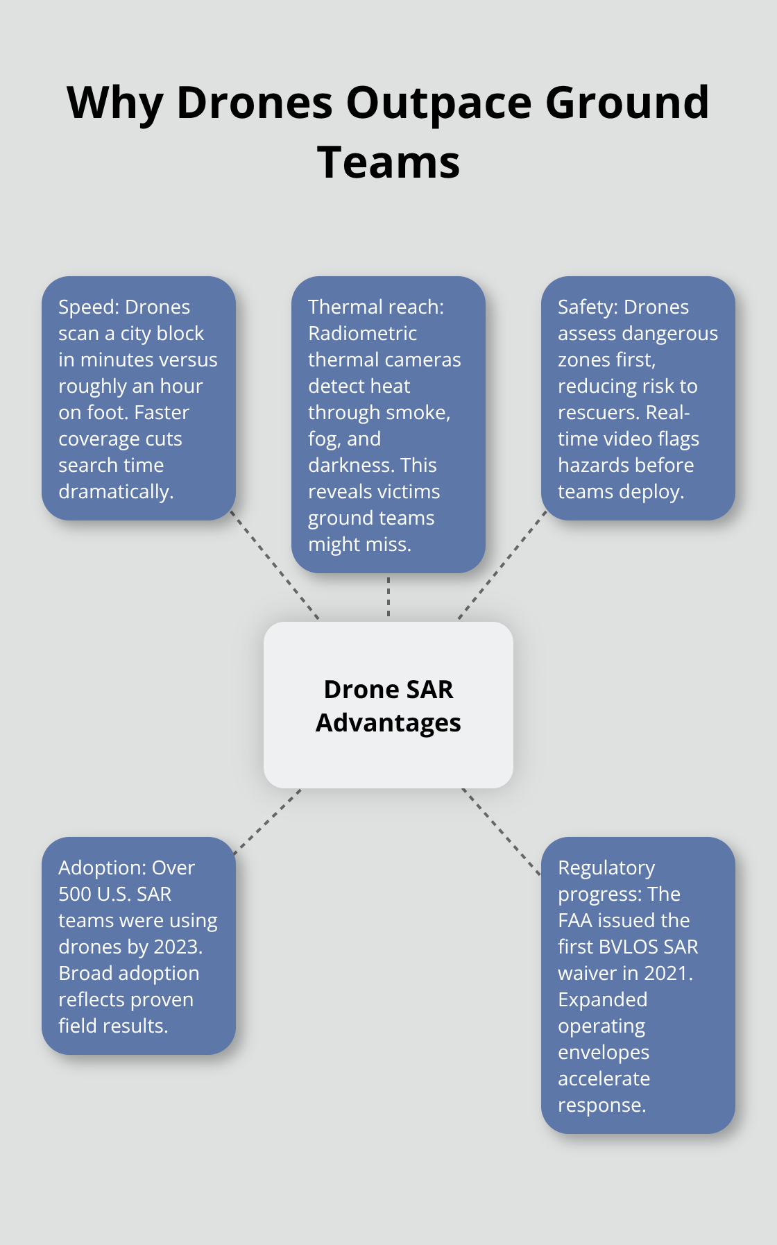
That adoption rate reflects a hard truth-drones work where ground teams struggle.
Thermal Imaging Detects What Eyes Cannot
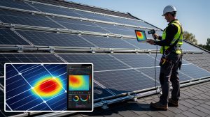
Thermal imaging provides the decisive advantage in urban rescues. A radiometric thermal camera detects heat signatures through smoke, fog, darkness, and dense vegetation that blind the human eye. Missing persons emit distinctive heat patterns that stand out against cold pavement or brush. At night, when visibility drops to near zero, thermal sensors maintain full clarity. Ground teams stumbling through darkness waste hours covering ground they cannot adequately see.
A drone with a 640×512 radiometric thermal camera (like those on the Matrice 4T or 30T) scans a ten-block search zone in under fifteen minutes, providing rescue coordinators with exact coordinates of heat signatures that match human body temperature. This speed directly translates to survival rates. The longer a missing person remains exposed, the higher the risk of hypothermia, dehydration, or injury. Every minute matters.
Pinpointing Victims in Dangerous Spaces
Thermal sensors pinpoint people in conditions where ground searchers would give up. A person hidden in dense brush, trapped in a collapsed building, or unconscious in an alley registers as a bright signature against the cooler background. Infrared night enhancement on platforms like the Matrice 400 sharpens detection in complete darkness.
Ground teams cannot match this capability without placing personnel in dangerous positions. Searching a partially collapsed structure, a flooded basement, or an active fire zone puts rescue workers at serious risk. A drone reaches those spaces first, delivers real-time video to command centers, and identifies hazards before ground teams enter. This reconnaissance prevents injuries and deaths among rescue personnel themselves.
Rapid Deployment and Precise Coordination
Drones provide precise coordinates that eliminate ambiguity. When a thermal camera detects a heat signature, operators use pin-point tools or laser range finders to extract exact GPS coordinates. Ground teams then move directly to the target instead of conducting area sweeps. This coordination multiplies efficiency.
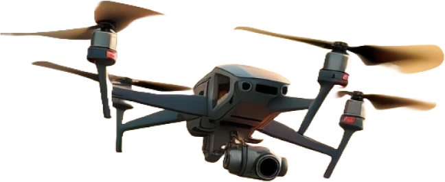
The Matrice 4T deploys in roughly thirty seconds and weighs just 1.2 kilograms, making it portable enough for rapid response in any urban environment. Flight endurance of up to 49 minutes allows systematic spiral-search patterns across entire neighborhoods without redeployment. Wind resistance up to 12 meters per second means operations continue in conditions that would ground less robust platforms. Real-time video streaming from these systems reaches command posts instantly, enabling live decision-making rather than delayed analysis.
These capabilities form the foundation of effective urban search operations, but success depends on selecting the right equipment and deploying it strategically. The next section examines the specific drone platforms and sensors that maximize rescue effectiveness.
Selecting the Right Drone Platform for Urban Search
Platform Comparison: Speed vs. Capability
Choosing a drone platform determines whether your search operation succeeds or fails. The wrong equipment wastes time, misses victims, and drains resources. The Matrice 4T excels for rapid-response teams that need extreme portability and speed. At 1.2 kilograms with 49 minutes of flight time, it covers neighborhoods faster than heavier alternatives. The 640×512 radiometric thermal camera on this platform detects human heat signatures at distances up to 400 meters, critical when searching through dense urban blocks. However, the 4T struggles in high winds above 12 meters per second and lacks the payload capacity for additional sensors. The Matrice 30T bridges portability and capability, weighing 3.77 kilograms with identical thermal resolution and 41 minutes of flight time. Its six-directional sensing prevents collisions in cluttered urban environments where buildings, power lines, and structures crowd the airspace. For larger-scale operations covering entire neighborhoods or industrial zones, the Matrice 400 delivers 59 minutes of flight time, 6-kilogram payload capacity, and IP55 weather resistance that operates in rain and dust. Its thermal camera reaches 1280×1024 resolution, distinguishing finer details that matter when identifying whether a heat signature belongs to a person or an animal.
Thermal Imaging Precision and Measurement
Thermal imaging superiority comes from radiometric measurement capability, not just visual detection. A standard thermal camera shows heat, but a radiometric thermal camera measures exact temperatures, allowing operators to distinguish human body heat (around 37 degrees Celsius) from vehicle exhaust or industrial heat sources. This distinction prevents false alarms that waste ground-team resources on dead ends. Night operations demand infrared night enhancement and IR spotlight capabilities. Platforms like the Matrice 400 can disable the IR Cut Filter to boost sensitivity in complete darkness, transforming the drone into a heat-detection instrument that ground teams cannot replicate. The payload flexibility on the 400 means you can swap sensors between missions without replacing the entire aircraft.
Endurance, Range, and Environmental Stability
Battery endurance directly impacts search effectiveness. A 49-minute flight time on the 4T covers roughly 15 square kilometers in a systematic spiral pattern, but repositioning and battery swaps add 10-15 minutes to real search time. The 30T and 400 extend this window, reducing downtime between sorties. Wind resistance becomes critical in urban canyons where buildings channel gusts unpredictably.
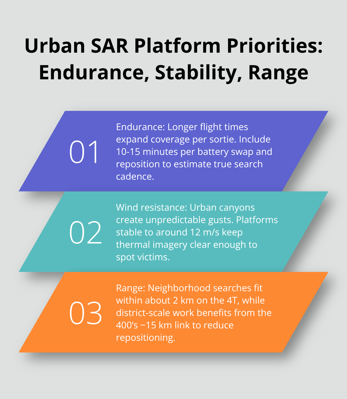
Smaller drones are more susceptible to wind effects due to their lower weight, size, motor power, and slower flight speed, so platforms rated for 12 meters per second maintain stability in conditions that would destabilize lighter drones, keeping thermal sensors steady enough for precise victim identification. Flight range determines how far from the launch point your team can search. The 4T transmits reliably up to 2 kilometers, sufficient for neighborhood-scale operations. The 400 extends this to 15 kilometers, enabling searches across entire districts without repositioning command centers. This range advantage matters enormously when searching sprawling warehouse complexes or industrial areas where ground access remains limited.
Matching Equipment to Mission Scale
Small-scale neighborhood searches favor the 4T’s rapid deployment and minimal transport burden. Medium-scale operations across multiple city blocks benefit from the 30T’s balanced endurance and collision avoidance. Large-scale district-wide searches demand the 400’s extended range and sensor flexibility. The decision hinges on your team’s operational scope and available resources. Once you select the right platform, tactical deployment strategies determine whether that equipment reaches its full potential in the field.
Deploying Drones Effectively in Urban Search Operations
Spiral Search Patterns Eliminate Coverage Gaps
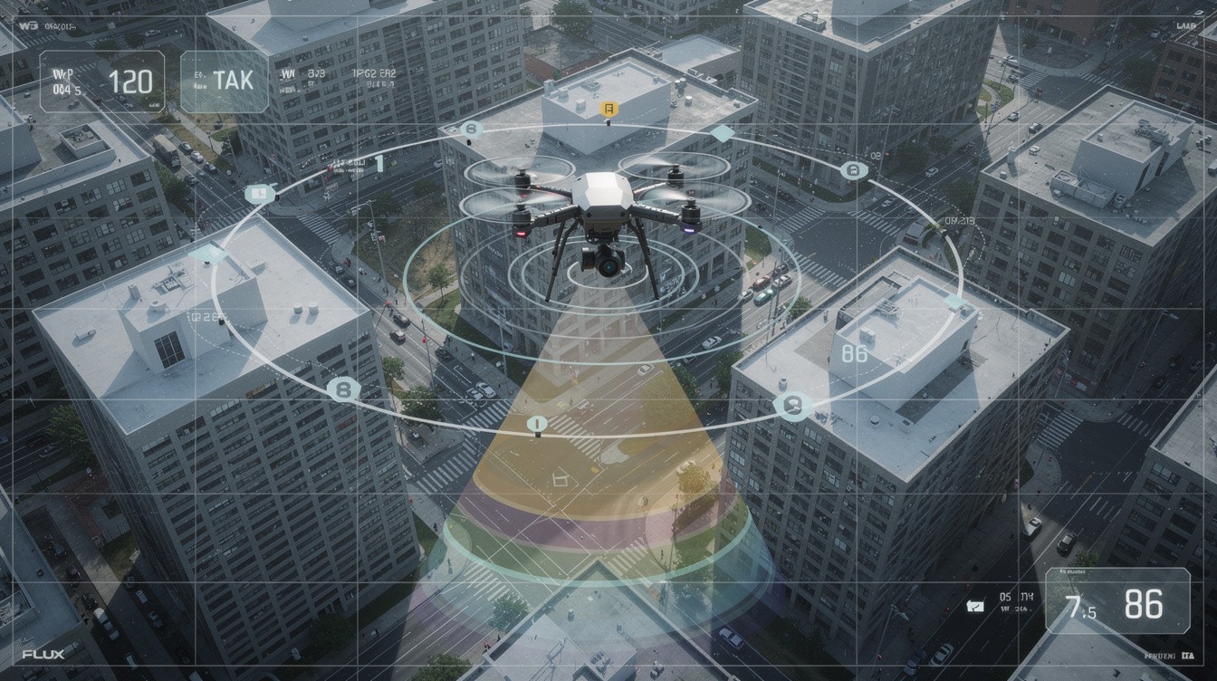
Spiral search patterns eliminate coverage gaps in urban rescue work because they ensure systematic progression while keeping the search zone visible throughout the entire operation. Start at the last known location and spiral outward in expanding circles. This approach helps drones cover large or hard to access areas quickly, providing real-time thermal feeds to command centers where operators mark heat signatures immediately.
Coordinate with Ground Teams Using Precise Data
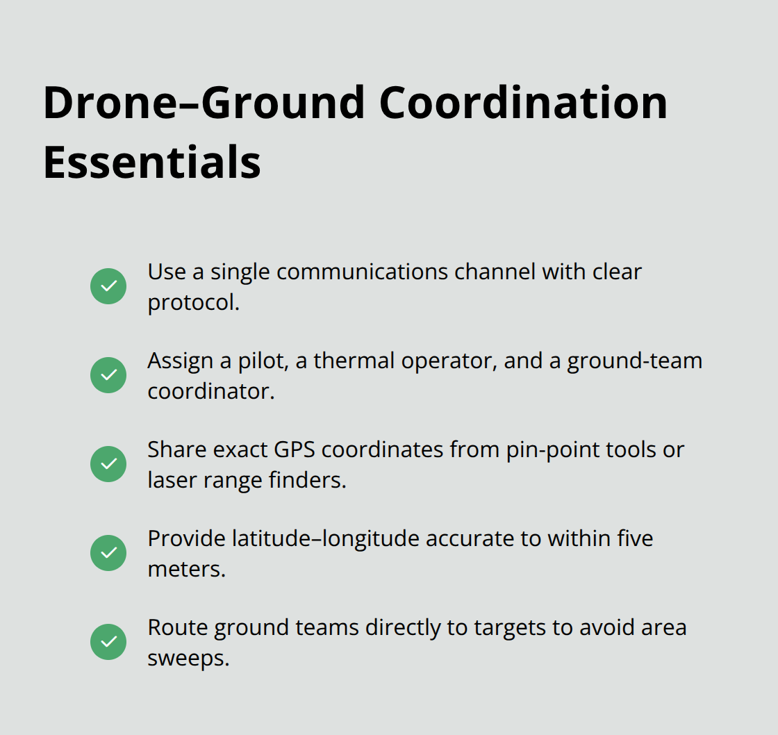
Coordinate with ground teams by sharing exact GPS coordinates extracted from pin-point tools or laser range finders rather than vague descriptions. When your thermal camera identifies a potential victim, ground teams receive latitude-longitude coordinates accurate to within five meters, not approximate directions. This precision eliminates the wasted movement that exhausts rescue personnel and delays victim extraction.
Communication between the drone pilot, thermal operator, and ground-team commander must flow through a single channel with clear protocol. Assign one person to manage drone operations, one to monitor thermal feeds, and one to relay coordinates to ground teams. This separation prevents confusion and accelerates response time when thermal signatures appear.
Weather Conditions Dictate Timing and Platform Selection
Wind above 12 meters per second destabilizes smaller platforms, blurring thermal imagery enough to miss victims in dense vegetation or complex terrain. Rain reduces thermal camera effectiveness because water droplets on the lens obstruct heat signatures, though IP55-rated platforms like the Matrice 400 continue flying in light precipitation where lighter drones must land.
Night operations demand infrared night enhancement and IR spotlight features found on the 30T and 400 platforms. Disable the IR Cut Filter to maximize thermal sensitivity in complete darkness, which amplifies heat signatures against cold backgrounds. Urban canyons created by tall buildings channel wind unpredictably, so conduct test flights before committing to systematic search patterns. High-rise structures also create GPS signal degradation that affects autonomous flight modes, making manual control more reliable in downtown cores.
Temperature Differentials Shape Search Effectiveness
Temperature differentials shape search effectiveness: thermal cameras improve search and rescue operations by detecting heat signatures even in tough conditions like smoke and darkness. Schedule urban searches during cooler periods and use visual camera feeds alongside thermal imaging to confirm heat signatures before directing ground teams to locations.
Final Thoughts
Drone-assisted urban search operations deliver speed, precision, and safety that ground teams cannot match alone. Thermal imaging penetrates darkness and dense vegetation, real-time coordination directs rescue personnel to exact locations, and rapid deployment eliminates hours of wasted searching. Over 500 SAR teams across the United States have already adopted urban search drone tactics, and adoption continues because the results save lives by reducing search time from hours to minutes.
Professional drone services amplify these advantages through certified operators, proven equipment, and established protocols that integrate with your existing emergency response structure. When your team needs thermal reconnaissance of collapsed structures, flooded zones, or dangerous environments, experienced drone operators eliminate learning curves and deployment delays that cost lives. Certified services provide FAA compliance, insurance coverage, and operators trained specifically in search-and-rescue missions rather than general commercial work.
We at IE Drone Services operate FAA-certified teams using DJI platforms equipped with high-resolution and infrared cameras configured for search-and-rescue missions. Contact IE Drone Services to discuss how professional drone support strengthens your rescue capabilities and saves lives in your community.